Track Training Macrocycles With GPS Metrics
By Diego Álvarez • 18th Jan
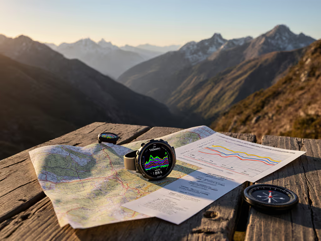
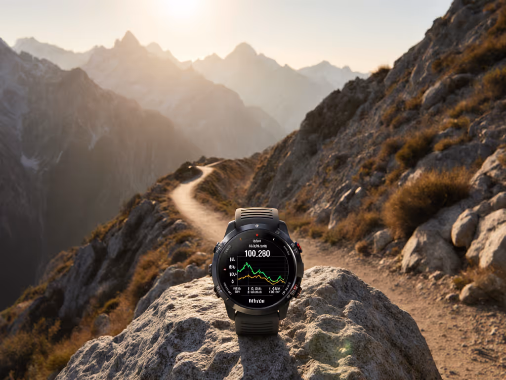
The strategic integration of periodization training GPS data forms the foundation of intelligent outdoor performance planning. By pairing deliberate GPS watch periodization planning with field-tested metrics, athletes and professionals can build structured training macrocycles that respond to environmental demands. This approach transforms raw location data into actionable insights for seasonal progression. If you need a primer on VO2 Max, training load, and recovery time, start with our GPS watch metrics guide. In the field, where network access disappears and conditions shift unpredictably, the reliability of your metrics directly impacts training outcomes. I've seen this firsthand during volunteer search operations (teams that relied on simple GPX conventions and repeated procedures maintained orientation when systems failed). This isn't theoretical; it is about building systems that function when stress rises and battery levels drop.
What is periodization training in outdoor contexts?
Periodization training structures athletic development into distinct phases (macrocycles (annual plans), mesocycles (monthly blocks), and microcycles (weekly plans)) to optimize performance while managing fatigue. For outdoor athletes, these phases must account for terrain variability, weather patterns, and environmental stressors that don't exist in controlled gym settings. To reduce wasted energy from route-finding, see our wilderness navigation guide.
Key outdoor considerations:
- Altitude acclimatization requirements
- Seasonal trail condition changes
- Weather-dependent recovery needs
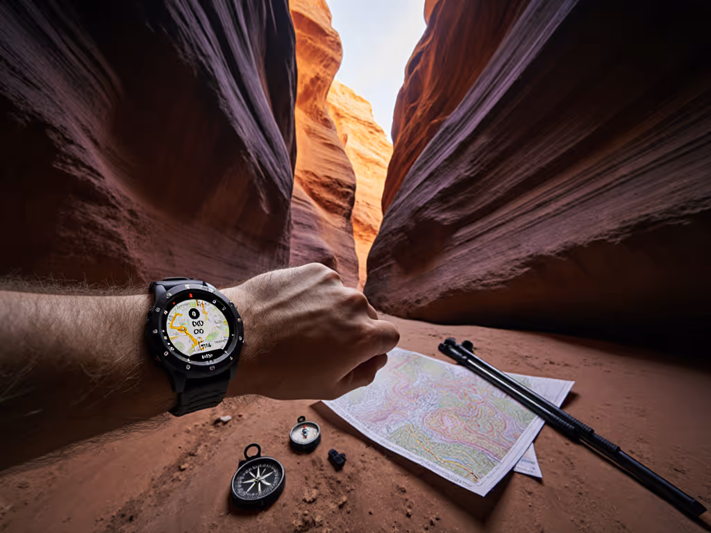
- Navigation complexity affecting energy expenditure
Rather than focusing solely on distance or duration, effective outdoor periodization must track how these environmental factors influence workload. This is where GPS data becomes indispensable for macrocycle training tracking.
How does GPS data enhance traditional periodization models?
GPS metrics provide objective, location-specific data that reveals how terrain and conditions actually impact training load, beyond what standard heart rate or perceived exertion metrics capture. When properly integrated into load management periodization, these metrics show discrepancies between planned and actual workload.
Consider this comparison of planned versus actual metrics during an alpine training block:
| Week | Planned Vertical Gain | Actual GPS Vertical Gain | Deviation |
|---|---|---|---|
| 1 | 4,000m | 4,150m | +3.8% |
| 2 | 5,000m | 6,200m | +24% |
| 3 | 3,500m | 2,800m | -20% |
This GPS data for training phases exposes critical planning gaps that would remain invisible without field measurements. For turning those deviations into actionable adjustments, use our training load analysis framework. During a recent mountain guiding certification, I observed teams that tracked these deviations weekly adjusted their macrocycles more effectively than those relying on theoretical models alone. The difference wasn't technological: it was procedural. Teams that established clear naming conventions for data files and consistent download protocols maintained better continuity when conditions disrupted their schedules.
Which GPS metrics matter most for outdoor periodization?
Not all GPS metrics contribute equally to effective periodization. Prioritize these field-validated metrics:
- Vertical displacement: More reliable than horizontal distance for assessing workload in mountainous terrain
- Speed consistency: Identifies terrain-induced variability affecting fatigue management
- Route adherence: Reveals navigation errors that inflate actual distance traveled
- Elevation profile accuracy: Critical for assessing true ascent/descent workload
- Recovery movement patterns: Post-activity walking patterns that indicate residual fatigue
Most GPS watches overemphasize horizontal distance metrics that don't correlate strongly with outdoor exertion. Instead, focus on elevation gain/loss metrics that better represent the physical demands of off-road travel. When analyzing seasonal performance metrics, I filter out horizontal distance outliers caused by GPS drift under canopy (this requires understanding your device's limitations before incorporating data into planning).
"Slow is smooth, smooth is fast. One deliberate GPS metric properly integrated beats ten noisy data points that create analysis paralysis."
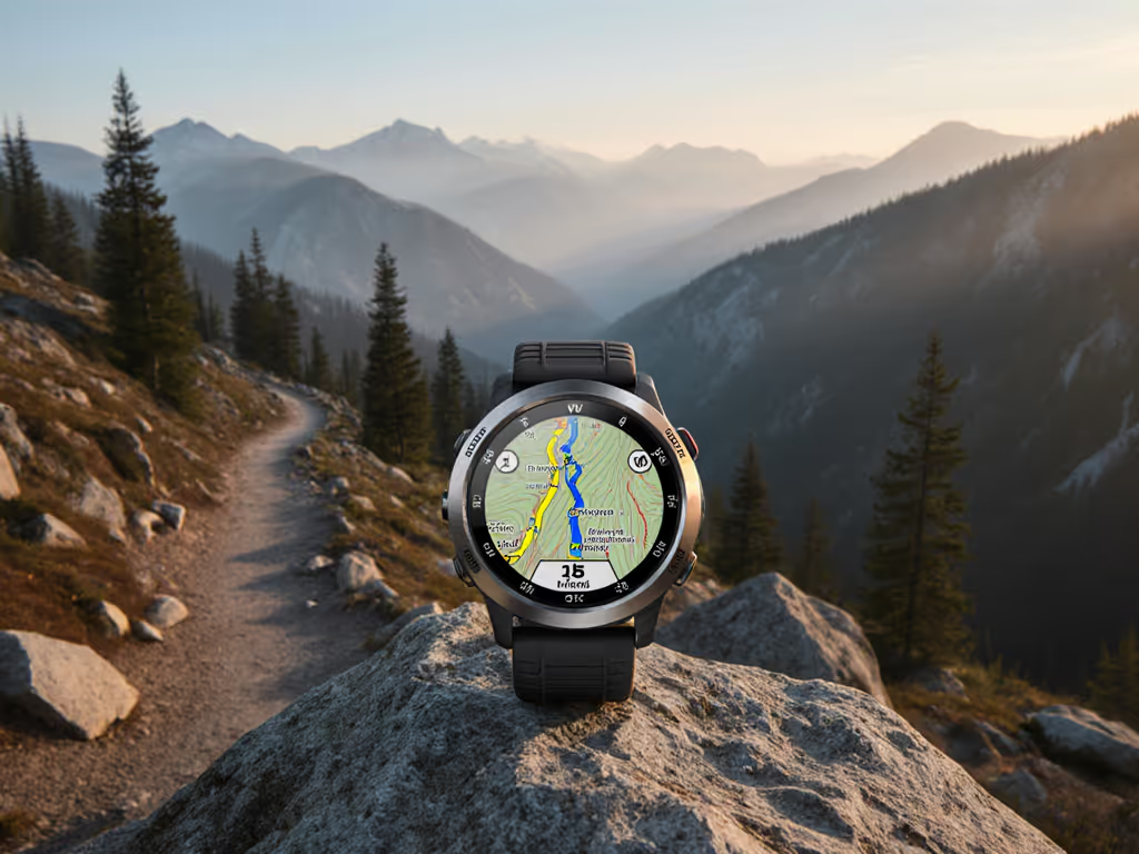
How should you structure macrocycle tracking with GPS data?
Effective macrocycle training tracking requires establishing clear baselines before the season begins. Conduct three baseline assessments under varying conditions:
- Stable condition test: Open terrain, clear skies, moderate temperature
- Challenging condition test: Dense canopy, precipitation, or high winds
- Extended duration test: Multi-day activity tracking battery behavior
Document these results in a reference table that accounts for your specific environmental conditions:
| Condition Type | Vertical Gain Accuracy | Battery Consumption | Signal Reacquisition Time |
|---|---|---|---|
| Stable | ±5% | 8h/10,000m | <15 seconds |
| Challenging | ±18% | 5h/10,000m | 45-90 seconds |
This contingency planning creates realistic expectations for your periodization training GPS data. For long efforts, follow our GPS battery optimization guide to keep tracking stable when it matters most. During a subalpine search operation, teams that had pre-characterized their device behavior under foliage maintained better situational awareness when signal degraded. They did not waste energy troubleshooting (they executed pre-planned contingencies because they understood device limitations in context).
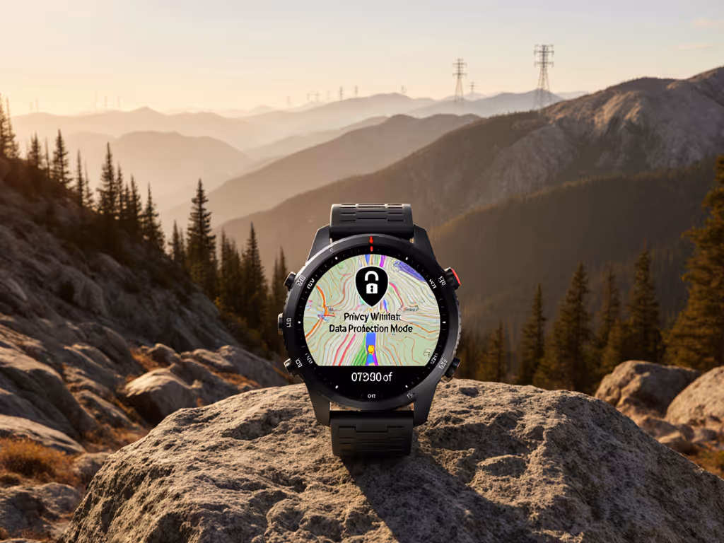
How do you maintain data integrity when environmental factors interfere?
Environmental challenges (canopy cover, canyon walls, and weather events) degrade GPS signal quality. Our field guide to multi-band GPS accuracy explains which settings fix drift under canopy and in urban canyons. Rather than ignoring this reality, build protocols that maintain data usefulness:
Field data integrity protocol:
- Enable multi-band/multi-constellation tracking when available
- Record vertical gain separately from horizontal distance
- Log environmental conditions during data collection
- Use barometric altimeter cross-verification
- Implement automatic waypoint generation at regular intervals
These steps transform unreliable moments into structured data points. When analyzing your GPS data for training phases, segment your data by environmental condition rather than discarding "problematic" segments. This creates a more accurate picture of real-world performance limitations.
What workflow best integrates GPS data into periodization planning?
The most effective GPS watch periodization planning follows a four-step cycle:
- Pre-activity: Set clear GPS parameters aligned with your training objective
- During activity: Monitor key metrics without over-reliance on device feedback
- Post-activity: Download and categorize data within 24 hours
- Analysis phase: Compare against planned metrics and adjust upcoming cycles
Crucially, maintain manual records alongside digital data, which creates redundancy when devices fail. During multi-day expeditions, I recommend exporting basic GPX data to multiple storage locations daily. This simple step prevented significant data loss during a recent backcountry mapping project when a primary device failed at day five.
How can you avoid common pitfalls in GPS-based periodization?
Most failures stem from unrealistic expectations of GPS technology rather than device limitations. Avoid these common mistakes:
- Assuming consistent accuracy: GPS performance varies dramatically by environment
- Ignoring battery reality: Cold temperatures and multi-band tracking reduce advertised battery life
- Overlooking file management: Poor naming conventions make longitudinal analysis impossible
- Chasing novelty: New features often compromise core reliability
Define your critical success metrics upfront, then select devices and protocols that support those metrics consistently. Open file formats and simple procedures maintained under stress deliver more value than advanced features that fail when needed most.
In outdoor training, your GPS data becomes most valuable not when conditions are ideal, but when they are challenging. By treating your periodization training GPS data as one component of a modular system (not a standalone solution), you build resilience into your training approach. When stress climbs and batteries drop, it is the simple tools and shared conventions you can repeat that bring teams home. After years of field work, I've learned that the most effective systems are those that function reliably when everything else fails. Slow is smooth, smooth is fast, and when every decision counts, the time invested in building repeatable GPS periodization workflows pays dividends in consistent performance and reduced risk across your entire training macrocycle.
Related Articles