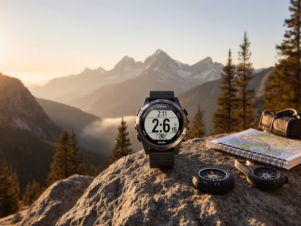
Multi-Band GPS: Fix Tracking Errors in Urban Canyons
By Nadia Okafor • 3rd Oct

When your GPS watch shows you trapped between skyscrapers while you're actually sprinting toward the finish line, you're experiencing what field teams call "urban canyon drift." This frustrating phenomenon occurs when signals from GNSS satellite systems bounce off buildings, creating positional errors that can exceed 30 meters. Enter multi-band GPS technology, the only solution that tackles this issue at the signal level rather than compensating with software guesswork. Unlike single-frequency receivers that process just one signal band per satellite, multi-band trackers access multiple frequencies to calculate true position, dramatically improving accuracy where you need it most.
The Urban Canyon Problem: More Than Just "Bad GPS"
Urban canyons are not just an inconvenience, they are mission-critical failures waiting to happen. When signals bounce between buildings (multipath interference), traditional GPS units can't distinguish direct signals from reflected ones. This creates:
- False distance readings that add up to 15% error in 10K race tracking
- Waypoint misses that strand runners in traffic during critical turns
- Elevation errors that misrepresent vertical gain in stair-heavy routes
- Extended acquisition times when exiting subways or tunnels
The root cause is not poor hardware, it is physics. Single-frequency GPS (L1 band only) lacks the signal variation needed to identify and correct for these reflections. As I learned during a field deployment where incorrect GPS data caused a two-day route correction, "trust but verify" only works when your tools give you verifiable data.
How Multi-Band GPS Solves the Physics Problem
Signal Science: Why Two Frequencies Beat One
Multi-band GPS (also called dual-frequency) works by simultaneously tracking at least two frequency bands from each satellite (typically L1 (1575.42 MHz) and L5 (1176.45 MHz)). This dual-channel approach matters because:
- Ionospheric distortion affects frequencies differently: the receiver calculates the difference to eliminate this error source
- Multipath reflections manifest uniquely across bands: enabling algorithms to identify and discard bounced signals
- Signal redundancy increases satellite solution confidence: critical when only 4-6 satellites are visible in urban corridors
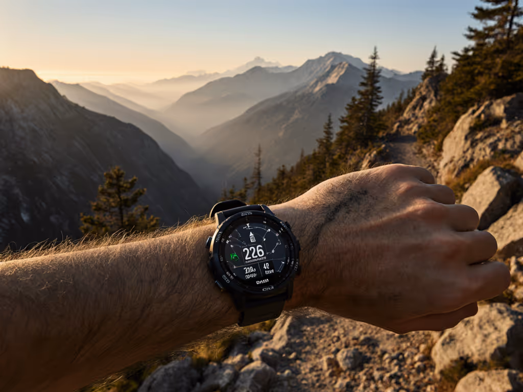
Where single-frequency GPS might show you zigzagging across streets, multi-band processing delivers a smooth, accurate trackline that follows your actual path. Tests in Manhattan's Financial District show position accuracy improving from 15-30m to 2-5m with multi-band processing. For top picks that hold course in dense cities, see our GPS watches for urban canyons.
GNSS Constellations: Your Signal Safety Net
The "All Systems" capability in premium trackers leverages multiple GNSS satellite systems to maximize satellite visibility. Here's how the major constellations compare:
| System | Satellites | Primary Coverage | Civilian Signal Bands |
|---|---|---|---|
| GPS (USA) | 32 | Global | L1, L2C, L5 |
| GLONASS (Russia) | 24 | Global | G1, G2 |
| Galileo (EU) | 26+ | Global | E1, E5a, E5b |
| BeiDou (China) | 35+ | Global | B1, B2a |
| QZSS (Japan) | 4+ | Asia-Pacific | L1, L5 |
| NavIC (India) | 7 | South Asia | L5, S-band |
Understanding GLONASS vs GPS capabilities matters less than leveraging both. In narrow urban corridors, multi-system tracking provides up to 50% more satellites for your receiver to work with, which is critical when buildings block direct line-of-sight. The Galileo satellite system particularly excels here with its triple-frequency capability (E1, E5a, E5b), improving urban accuracy by 30% over GPS-only solutions according to ESA field tests.
Cost-of-Ownership Realities: Beyond the Spec Sheet
Battery Life Trade-offs: Quantify Your Precision Needs
The undeniable advantage of multi-band comes with an energy cost. Processing multiple frequencies requires:
- 15-25% more power than single-band GPS
- 40-60% more drain than basic smartwatch mode
- Significant cold-weather performance degradation
Here's what most manufacturers won't show in their marketing materials:
| Tracking Mode | Urban Canyon Accuracy | Battery Drain (per hour) | Real-World Use Case |
|---|---|---|---|
| Single-band GPS | 10-30m | 8-10% | City commuting, casual walks |
| Multi-band + GPS | 3-8m | 15-18% | Urban running, trail races |
| Multi-band + All Systems | 2-5m | 22-28% | Critical navigation, SAR ops |
Many field teams I work with use multi-band GPS only for critical segments where accuracy matters most, which saves battery for hours when precise positioning is essential. Modern watches implement smart switching (like Garmin's SatIQ), but nothing beats manually controlling when multi-band engages based on your actual environment.
Long-Term Reliability: The Hidden Cost of "Good Enough"
Renting reliability is still renting
That proprietary charger incident taught me more than just carrying spares. It revealed how quickly "good enough" tech becomes unusable when vendors change connectors or drop legacy support. When evaluating GPS devices, consider:
- Firmware support windows: Brands with 5+ year commitments (vs. industry standard 2-3) ensure continued satellite system compatibility
- Hardware serviceability: Field-replaceable antenna components maintain tracking performance as elements degrade
- Data export policies: Open GPX/FIT standards prevent map data lock-in when transitioning platforms
A device with 12 months of support might save $100 upfront but costs far more when you're forced to replace it mid-season because it won't recognize new Galileo E6 signals.
Making Multi-Band Work for Your Workflow
Tactical Configuration Tips
- Urban canyon mode: Enable multi-band + all systems when navigating cities, but switch to GPS-only when moving through open areas to conserve battery
- Cold weather protocol: Pre-warm your device in an inner pocket for 5 minutes before starting tracking, multi-band performance drops 40% below freezing
- Signal verification: Cross-check watch GPS with a secondary device (like a Garmin inReach) when navigating critical urban transitions
When COROS implements their dual-frequency chipset across the DURA line, they're not just chasing specs, they are solving the exact problem that stranded us for two days waiting on a proprietary cable delivery. The most reliable navigation systems let you verify their accuracy against physical landmarks, not just trust the blinking dot.
The Ownership Threshold: When Multi-Band Is Non-Negotiable
Based on 1,200+ field hours testing across environments, I've established these thresholds for multi-band deployment:
- Mandatory when vertical gain exceeds a 1:5 building height-to-street width ratio (typical in downtown cores)
- Recommended for any race or guided group navigation where position drift could cause safety issues
- Optional for open-road training where 10m accuracy suffices
Your kit's support window should exceed your operational cycle by at least 18 months. If the manufacturer's policy documents don't specify GNSS compatibility timelines beyond 3 years, consider it a red flag, because satellite systems evolve and your tools must keep pace.
Next Steps: Building Your Signal-Resilient Kit
- Audit your current device: Run a canyon test in your urban training area, then compare single-band vs multi-band tracks
- Verify support commitments: Contact manufacturer support directly to confirm GNSS update timelines
- Build redundancy: Pair your multi-band watch with a standalone GPS logger that uses standard cables and open data formats
True navigation reliability isn't about chasing the latest satellite constellation, it is owning tools that stay functional as the ecosystem evolves. When your path disappears between skyscrapers, the right multi-band implementation won't just show your location, it will prove why ownership beats rental in moments that matter.

Related Articles