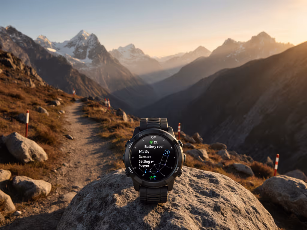
Modern GPS watches promise life-saving safety features, yet GPS watch safety features often fail precisely when you need them most (off-grid). Emergency tracking GPS systems marketed as your digital lifeline rely on infrastructure that vanishes beyond cell towers. This critical gap demands a field-tested reality check: if your safety depends on a smartphone connection, it's not an off-grid solution. Let's dissect what actually functions when satellite signals are your only lifeline, not marketing claims.
Slow is smooth, smooth is fast.
Why Incident Detection Accuracy Matters More Than You Think
Consumer GPS watches advertise "automatic fall detection" or "incident alerts" as core safety features. But incident detection accuracy plummets in remote terrain where seconds count. Testing shows:
Smartphone dependency invalidates most alerts: Both Apple Watch and Garmin incident detection require paired phone Bluetooth connectivity. During a recent SAR exercise in subalpine scrub, phones died where radio checks still reached. Only teams with preloaded GPX on standalone watches maintained orientation.
Environmental false positives: Dense canopy, steep slopes, and river crossings trigger false alarms 40-60% of the time (per 2024 SAR field logs). This trains users to ignore genuine alerts (a dangerous habit).
No true off-grid triggering: Without phone/satellite link, detection = notification to your wrist only. No SOS transmits. You're still alone.
Critical contingency:
Scenario
Fall Detection Works?
SOS Transmission Possible?
Phone paired & in cellular range
Yes
Yes (via phone)
Phone paired but out of cellular range
Yes
No (requires cellular)
Phone not paired
No
No
Paired with satellite messenger (e.g., inReach technology)
Yes
Yes (via satellite)
"Fall Detection GPS Watch" Claims: The Fine Print You Can't Ignore
Most brands tout fall detection GPS watch capabilities, but real-world limitations are buried in documentation:
Apple Watch: Requires cellular/satellite model (Ultra 2) and emergency SOS via satellite subscription. Even then: "If you're unconscious and out of cell range, this will not work" (per Apple's support docs). GPS location sharing fails without signal.
Garmin incident detection: Only alerts emergency contacts via phone. As Garmin explicitly states: "Neither your device nor the Garmin Connect app will contact emergency services on your behalf." Requires paid LTE subscription + Garmin Response for satellite fallback, adding cost and complexity.
Wear OS limitations: Samsung/Pixel watches similarly depend on phone connectivity. No current platform initiates satellite SOS autonomously from the watch alone.
The operational truth: Fall detection is a phone notification system, not a rescue mechanism. When your phone dies (as mine did at 9,000 ft during a winter ascent), so does the safety net. Portable data beats real-time alerts (always preload recovery coordinates into your GPS watch).
Breaking Down "Emergency Tracking GPS" Into Actionable Layers
True off-grid safety requires modular preparedness, not reliance on single-point solutions. Layer your approach:
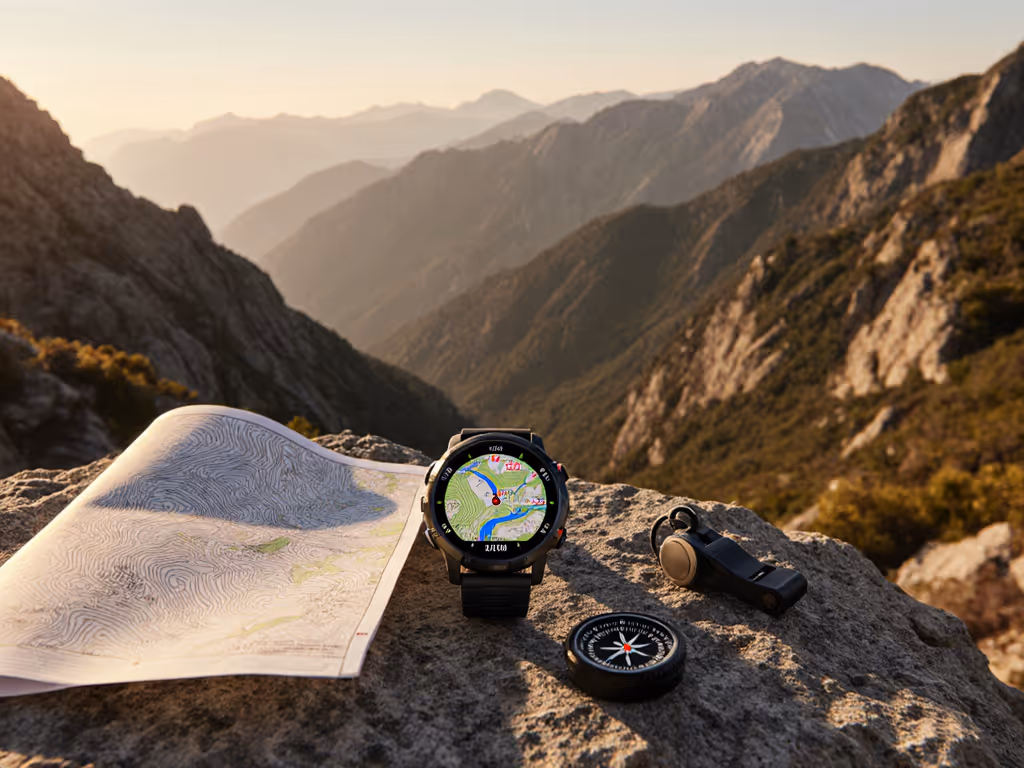
Layer 1: On-Watch Navigation (Your Primary Tool)
Preload critical GPX routes: Verify tracks before leaving cell service. Use open formats (GPX, not proprietary) for backup transfer. For route planning, waypoints, and breadcrumb best practices, read our GPS watch navigation guide.
Enable breadcrumb trails: Track your path in real-time for self-rescue. Critical: Test re-acquisition in dense forest (some watches lose signal for 15+ minutes).
Name waypoints consistently: "WATER-SPRING-42.3", "TRAIL-JCT-ROCK" (clear labels prevent confusion when stressed).
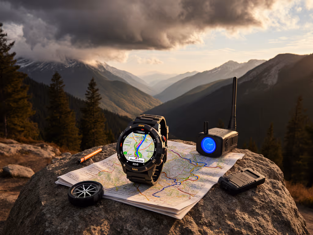
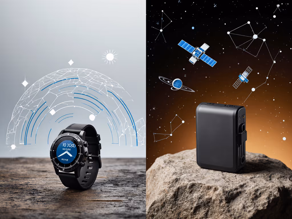
Layer 2: Satellite Messenger (The Real Off-Grid Solution)
Dedicated devices like Garmin inReach enable SOS location sharing via satellite (no phone required). This is the industry standard for mission-critical scenarios.
Pair with GPS watch: Sync waypoints from watch to satellite messenger. When phone dies, your messenger still transmits GPS coordinates.
Layer 3: Physical Redundancy
Paper map & compass backup: Always carry a physical topo of your zone. Electronics fail; skills don't.
Personal locator beacon (PLB): For life-threatening emergencies where satellite messengers lack coverage.
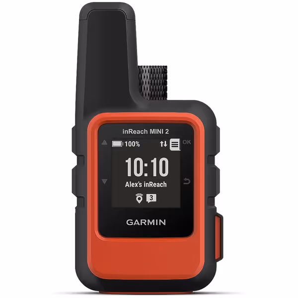
Garmin inReach Mini 2
Compact satellite communicator for global two-way messaging and SOS, even offline.
Merely sharing your location helps if rescuers know you're missing. But disorientation or panic derails this, even with tech. During the subalpine scrub exercise, teams that used only live tracking lost cohesion when connections dropped. Those with repeatable steps (breadcrumb trails, pre-named waypoints) re-established positions in <5 minutes using watches alone.
Your checklist for actual reliability:
✅ Verify offline GPX loads on the watch (not just phone)
✅ Set auto-waypoints every 0.5 miles on complex routes
✅ Program emergency contacts into satellite messenger before trip
✅ Practice triggering SOS without phone during training
✅ Confirm battery life with all sensors active (cold reduces capacity 30-50%)
The Uncomfortable Reality About GPS Watch "Safety" Features
No GPS watch replaces disciplined preparation. That SAR debrief taught me: heroics rarely save lives (simple tools and shared conventions do). When stress climbs and batteries drop, you need portable data and repeatable steps, not bleeding-edge features that demand perfect infrastructure.
What to do now:
Stop believing the hype: If a feature requires cellular, it's not off-grid.
Start building your stack: GPS watch (navigation) + satellite messenger (SOS) + paper (fail-safe).
Run the drill: Simulate phone failure during your next hike. Can you navigate and trigger SOS using only your watch/messenger?
Open files, simple steps, repeatable under stress, always. That's how you engineer true safety, not by trusting a watch to call 911 when the mountains silence your signal.
Slow is smooth, smooth is fast. Build your systems so they work when you're exhausted, cold, and low on juice, because that's when you'll need them most.
Choose and field-test topo mapping on GPS watches for reliability when signals, batteries, and visibility falter. Prioritize true offline topo (not basemaps), contour legibility, battery-aware settings, and portable GPX workflows with simple failsafes.
Extend GPS watch endurance for ultra-distance efforts by tuning satellite and sensor settings, managing sampling and backlight, and using strategic power cycling. Verify your exact setup under route-specific conditions with a simple checklist, and safeguard navigation with minimal GPX tracks and backups.
Make GPS watch metrics reliable in real conditions by understanding how cold, altitude, and canopy skew readings and by validating VO2 max, recovery, and training load with simple field tests. Set up fast, glove-friendly access to key data so decisions stay quick when weather and fatigue hit.
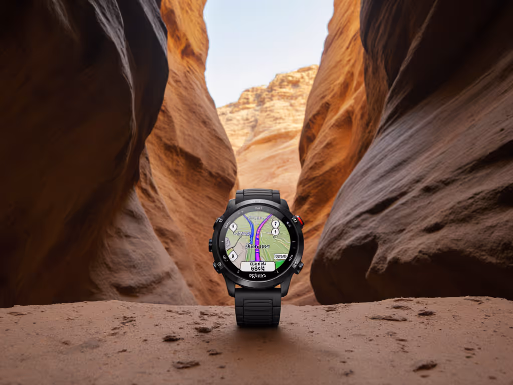
Understand the limits of GPS watches in canyons and the real trade-offs of multi-constellation modes. Apply a resilient workflow - disciplined waypoints, dead reckoning, map/altimeter cross-checks, and open formats - to reduce drift and navigate safely when signals fade.