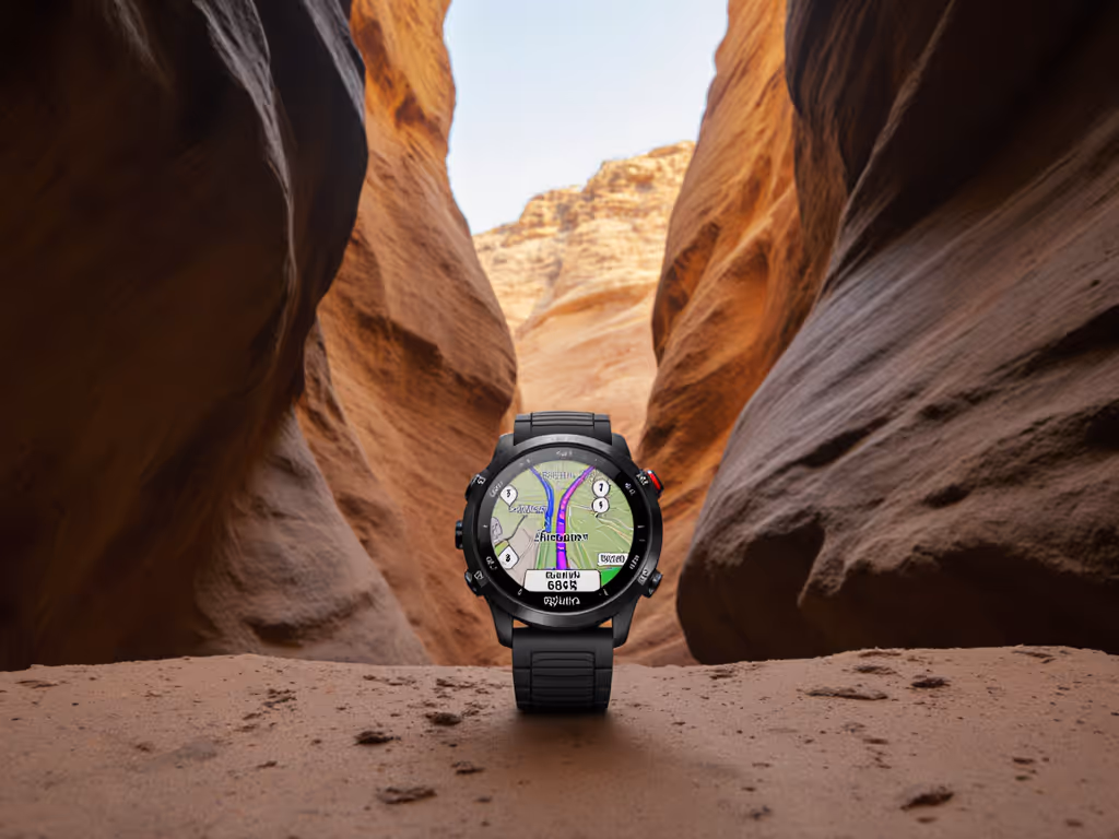
When GPS watch navigation fails in slot canyons or dense forests, your safety depends on understanding why it fails. Wilderness navigation with GPS requires acknowledging its limitations (not just trusting the blue dot). As a route planner who's debriefed SAR teams, I see recurring pitfalls: drift-induced wrong turns, elevation spikes from faulty baro sensors, and dead batteries when you need breadcrumbs most. This isn't about gear worship; it's about designing workflows that survive signal shadows. Portable beats proprietary.
FAQ: Critical Truths About GPS in Confined Terrain
Why does my GPS watch drift so badly in canyons?
Physics isn't marketing. Canyons create "urban canyon" effects: signals bounce off rock walls (multipath errors) or get blocked entirely. Tests confirm even dual-frequency watches lose >5m accuracy under 30m cliffs. Standard GPS (L1) struggles most; multi-constellation (GPS+Galileo+GLONASS) helps but doesn't eliminate drift. For a deeper dive into how multi-band and multi-constellation modes mitigate canyon errors, see multi-band GPS in canyons. Critical insight: If your watch claims "1m accuracy," that's only in open-sky conditions. In canyons, treat position data as directional (not precise). Cross-reference with map contours and physical landmarks immediately.
Define terms: Multipath error occurs when satellite signals reflect off surfaces before reaching your antenna, creating false position calculations. Vertical dilution of precision (VDOP) worsens elevation errors in narrow terrain.
Can't I just rely on the watch's "best" satellite mode?
Not without trade-offs. Enabling all satellite systems (GPS, Galileo, QZSS, etc.) improves sky visibility but drains batteries 2-3x faster. Field tests show watches like the COROS VERTIX 2S lose 30% battery/hour in "all-systems" mode (unusable for multi-day trips). Worse: manufacturers rarely disclose real canyon performance. One team's Moab expedition recorded 12-minute satellite reacquisition times after canyon exits, time you don't have in a storm.
Evidence-linked recommendation: Use multi-constellation only for critical route-finding segments. For general travel, default to GPS+Galileo. Always carry a backup power source tested in cold conditions (where lithium batteries lose 40% capacity).
How do I manage waypoints when signal drops?
GPX conventions prevent chaos. Drift corrupts real-time tracking, but preloaded waypoints stay stable. Here's the disciplined workflow:
Before departure: Name waypoints using unambiguous formats (e.g., WTRFALL_42.1 not Cool Water). Include distance markers.
In the field: When signal drops, stop moving. Manually record compass bearing to next landmark. Log time/distance traveled via analog watch.
After signal returns: Verify position against three map features (e.g., stream junction + contour bend + cliff face). Never trust a single coordinate.
I recall a volunteer search in subalpine scrub where teams with preloaded, clearly named GPX waypoints on rugged watches stayed synced, while others with "smart" touchscreen devices fumbled with unresponsive screens. Radio checks worked where phones died. The takeaway wasn't heroics. It was simple tools and shared conventions you can repeat when stress climbs and batteries drop.
Should I trust elevation data from my barometric altimeter?
Only if calibrated, and even then, cautiously. Baro sensors fail catastrophically during rapid weather shifts (common in canyons). One Colorado River group followed a "300ft descent" alert that was actually level ground due to a pressure front. Critical rule: Recalibrate at every known elevation point (summit, trailhead, lake). Never use altimeter data alone for route decisions; cross-reference with map contours.
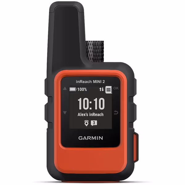
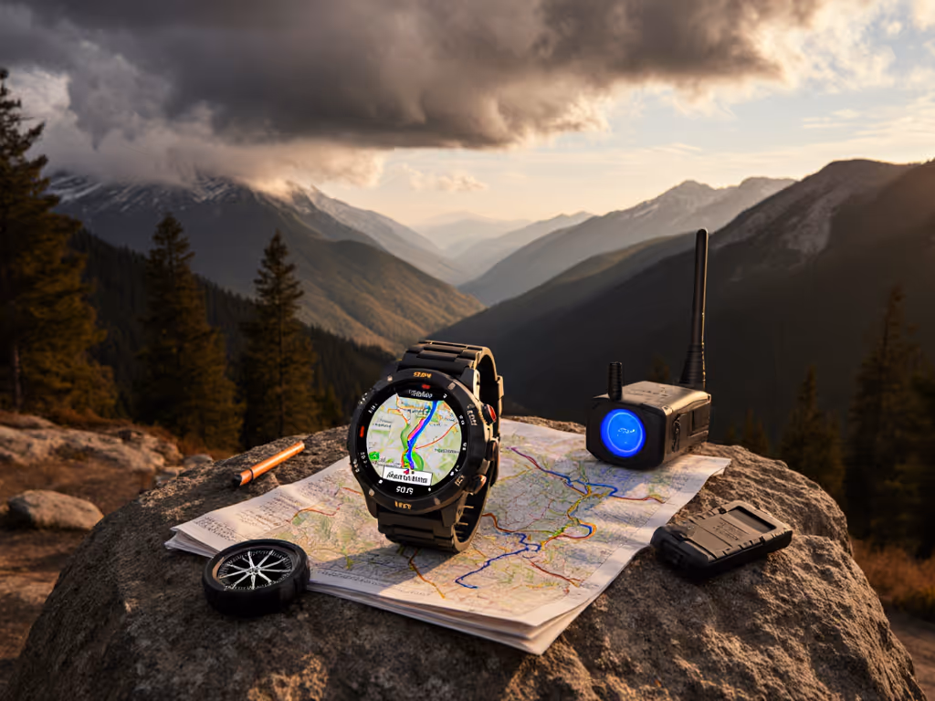
Garmin inReach Mini 2
Compact satellite communicator for global two-way messaging and SOS, even offline.
What's the single most reliable backup for GPS drift?
Dead reckoning with time/distance. As Andrew Skurka notes, DISTANCE = RATE × TIME is the bedrock of off trail navigation. Calculate your baseline pace (e.g., 25 min/mile on flat terrain), then adjust for gradient: every 1,000ft of gain adds 15-20 min/mile. When GPS drifts:
Note time since last confirmed location
Apply adjusted pace to estimate distance
Track heading via physical compass
This requires practice but works when satellites don't. Contingency table for canyon travel:
Failure Mode
GPS Watch Response
Physical Backup
Complete signal loss
Enters 'breadcrumb' mode (no new points)
Compass bearing + pace counting
Severe elevation drift
Baro data becomes erratic
Map contour verification
Battery failure
Screen goes dark
Pre-marked paper map with time/distance ticks
Your Canyon-Ready Checklist
Before entering confined terrain:
Download vector maps (not raster) for fast zoom (smaller file size)
Preload GPX routes with waypoint management focusing on decision points (e.g., FORK_E, CLIFF_R)
Set watch to log points every 10 sec (not 1 sec), which reduces drift artifacts
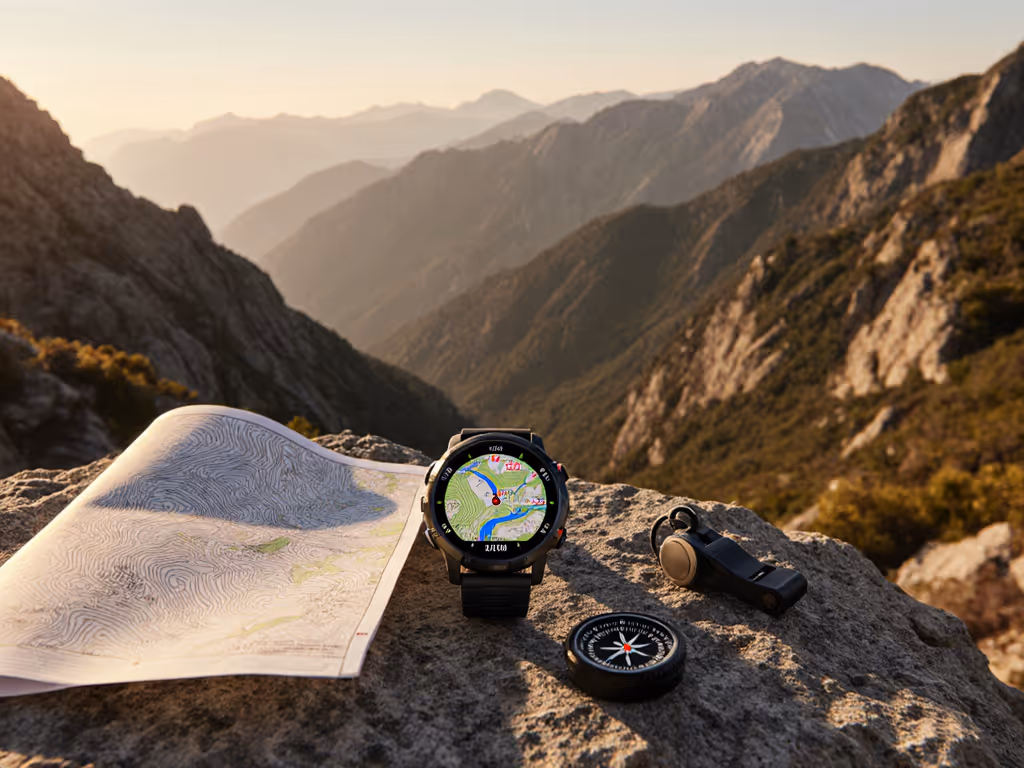
Pack a physical altimeter compass (e.g., Suunto M-3) for cross-checks
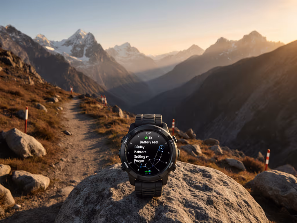
Switch watch to airplane mode (reduces electrical interference)
Note last known location/time/direction
Deploy analog pace counting: 100 steps = 1 unit (calibrate for your stride)
Verbally confirm position with team using map features ("We're at the bend before the dryfall")
Why Open Workflows Win
Proprietary apps cripple backcountry navigation when networks fail. I've seen teams stranded because their watch wouldn't load GPX files exported from a "premium" platform. Open files, simple steps, repeatable under stress, always. Use universal formats: GPX for routes, KML for annotations. Tools like CalTopo or Gaia GPS let you pre-load maps to any device (no lock-in). This isn't preference; it's risk math. If your only route planner requires Wi-Fi, you've introduced a single point of failure.
Real-world GPS route planning means designing for the worst signal, not the best specs. I've adjusted more SAR debriefs where over-reliance on GPS caused delays than I have from using paper maps alone. Your watch is a tool (not a crutch). Test your canyon protocols in benign terrain first. Verify battery life in cold weather. Practice naming waypoints without looking at your screen.
Portable beats proprietary when the canyon walls close in. Master the fundamentals, and your watch becomes what it should be: a stress-reducer, not a stressor.
Further exploration: Study the USGS's Topographic Map Symbols guide. Practice dead-reckoning drills in local parks using only time/distance. Join a SAR training session to experience real-world navigation pressure. Your competence is your best satellite.
Choose and field-test topo mapping on GPS watches for reliability when signals, batteries, and visibility falter. Prioritize true offline topo (not basemaps), contour legibility, battery-aware settings, and portable GPX workflows with simple failsafes.
Extend GPS watch endurance for ultra-distance efforts by tuning satellite and sensor settings, managing sampling and backlight, and using strategic power cycling. Verify your exact setup under route-specific conditions with a simple checklist, and safeguard navigation with minimal GPX tracks and backups.
Make GPS watch metrics reliable in real conditions by understanding how cold, altitude, and canopy skew readings and by validating VO2 max, recovery, and training load with simple field tests. Set up fast, glove-friendly access to key data so decisions stay quick when weather and fatigue hit.
Learn why watch-based incident detection often fails off-grid and what truly works when cellular service disappears. Build a dependable safety stack with on-watch navigation, a dedicated satellite messenger, and analog backups, guided by a practical pre-trip checklist.