GPS Watch Customization Guide: Reliable Activity Data Fields
By Marta Kovács • 5th Nov
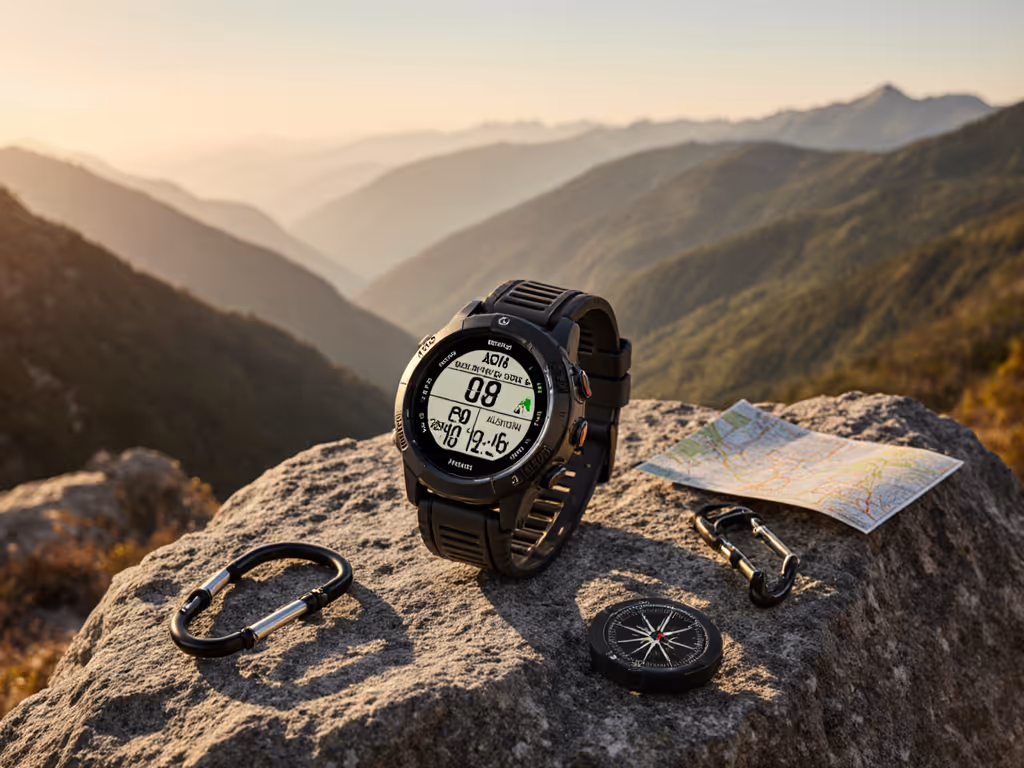
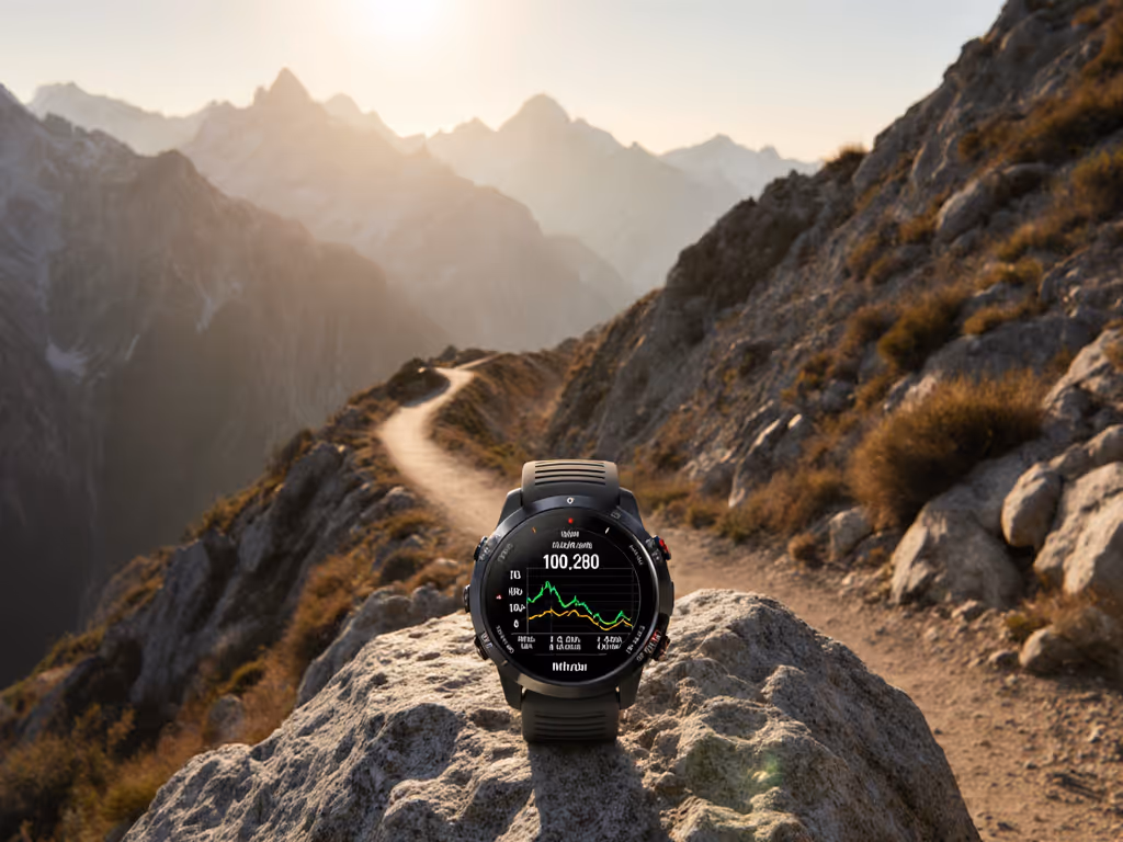
Your GPS watch isn't just a data dump, it's your lifeline when the trail vanishes under snow or canopy. A GPS watch customization guide transforms generic metrics into mission-critical navigation tools. Forget flashy interfaces; true personalized GPS watch data means stripping away noise to expose what keeps you moving when conditions turn hostile. Batteries lie; logs don't, so budget before you boot, always.
Why Standard Settings Fail in the Field
Most users never touch default profiles. That's why SAR teams recover watches showing stress scores while the wearer starved for accurate elevation during a whiteout. I learned this on a five-night ski traverse when cold snapped batteries in half. My spare bank failed too, but the watch I'd tuned for survival logged every turn. If you rely on breadcrumb routing and waypoints in the backcountry, see our GPS watch navigation guide for avoiding drift. Endurance isn't comfort; it's the difference between guessing and knowing. Today's GPS watch customization guide starts with your mission's non-negotiables:
- Coldest operating temperature (e.g., -20°C for winter ski mountaineering)
- Longest unplanned outage (e.g., 72 hours for alpine expeditions)
- Critical-to-fail data (e.g., altitude gain, not step count)
Plain constraints beat hypotheticals every time. If your objective won't survive a cloudy battery-readout screen, you've already lost.
Step 1: Audit Your Mission's Data Needs (The Risk-First Checklist)
Before tweaking settings, quantify your actual needs. Generic running profiles drown you in metrics that increase cognitive load during emergencies. Ask:
- What data prevents wrong turns? (e.g., bearing-to-next-waypoint, not lap pace)
- What metrics survive cold-induced sensor fade? (e.g., barometric altitude vs. GPS elevation)
- What's the bare minimum for route-finding? (e.g., 100m between breadcrumb points)
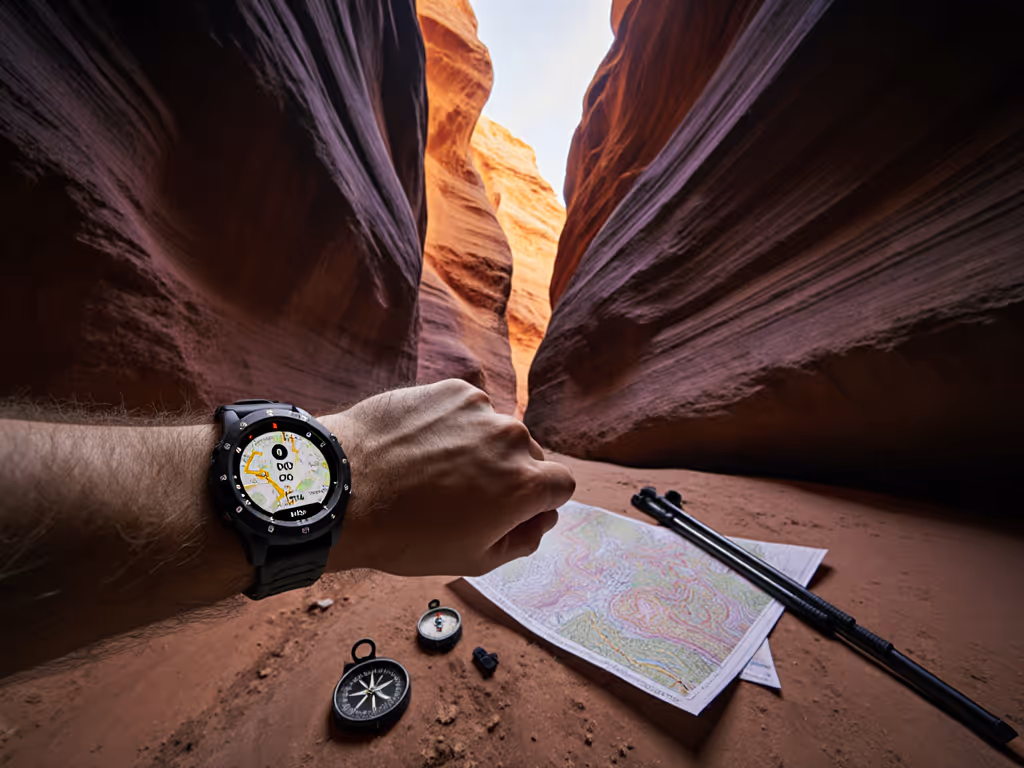
For example: A backcountry ski guide needs vertical ascent rate and altimeter trend, not Strava segments. An ultrarunner in canyon country prioritizes satellite lock status over heart rate zones. To improve lock under trees and cliffs, learn how multi-band GPS mitigates errors. Prune mercilessly. If a field doesn't directly prevent navigation errors or exposure risks, cut it. Each extra data point costs battery life and screen clarity in storms.
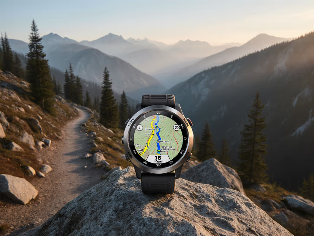
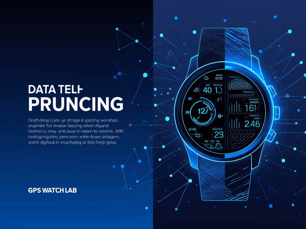
Step 2: Prune Activity-Specific Data Fields
Your default "hiking" profile likely shows steps taken (useless when you're navigating crevasses). Here's how to harden activity-specific data fields:
- Enter activity settings → Data Screens → Layout
- Reduce fields to 1-2 critical metrics (e.g., distance to next waypoint + battery hours remaining)
- Replace volatile metrics (e.g., swap GPS elevation for baro altitude when tree cover blocks satellites)
- Kill all biometric frippery (e.g., stress scores, sleep scores, zero value in blizzards)
Real-world example: During a Patagonian traverse, I replaced "recovery time" with temperature trend using the barometer. When mercury dropped 12°C in 90 minutes, that field triggered an avalanche-risk assessment no fitness metric could. Data display optimization means only showing what changes your actions.
Step 3: Button-First Configuration for Glove/Wet Use
Touchscreens fail in rain or with gloves. If you depend on SOS and incident detection, review the core GPS watch safety features that work off-grid. Mandatory watch face configuration rules:
- Map all critical functions to physical buttons (e.g., long-press for emergency waypoint)
- Disable swipe navigation (use up/down buttons to cycle only essential screens)
- Set backlight timeout to 3 seconds (longer drains battery; shorter risks fumbling in dark)
Premium dual-band models like Garmin's Forerunner 965 let you assign track back to a single button (critical when whiteout disorients). But don't just trust the manual. Test button functions with ski gloves at -10°C before your trip. If it's finicky, it's dead weight.
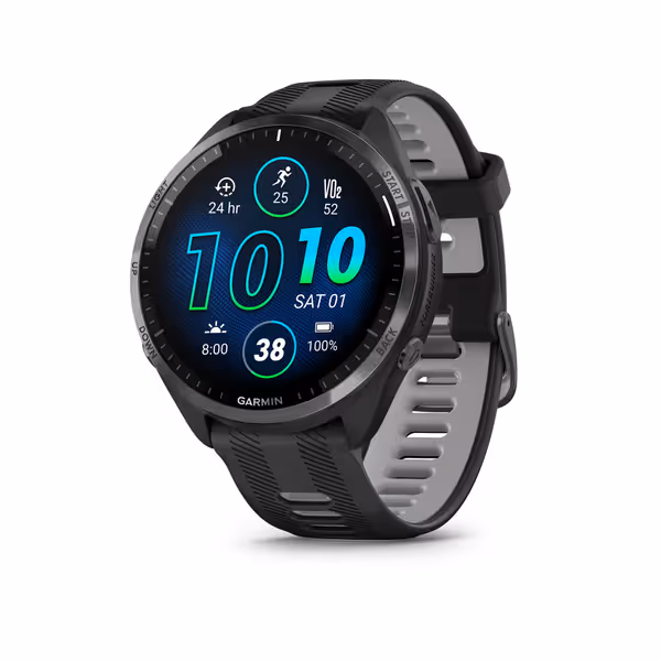
Garmin Forerunner 965 Running Smartwatch
Advanced GPS running watch with brilliant AMOLED and multi-band accuracy.
$589.95
GPS Battery LifeUp to 31 hours
GPS Battery LifeUp to 31 hours
Pros
Reliable multi-band GPS accuracy in challenging environments.
Brilliant AMOLED display with physical buttons for all conditions.
Comprehensive training readiness and recovery insights.
Cons
Premium price point may be a barrier for some.
Customers find this smartwatch to be the best athletic device, with an amazing battery that lasts about 2 weeks between charges and works great for running activities. The display is praised for its AMOLED quality and easy readability, while the tracking features are excellent, particularly for heart rate monitoring during runs.
Customers find this smartwatch to be the best athletic device, with an amazing battery that lasts about 2 weeks between charges and works great for running activities. The display is praised for its AMOLED quality and easy readability, while the tracking features are excellent, particularly for heart rate monitoring during runs.
Step 4: Build Battery Budgets, Not Hopes
Advertised battery life ignores cold, altitude, and full-frequency GPS. For step-by-step runtime tuning, follow our battery optimization guide for ultra distances. My hours-per-gram math for a 5-day ski traverse:
| Setting | Power Draw | Runtime |
|---|---|---|
| Full dual-frequency GPS | 220mA | 18 hours |
| Smart sampling (SatIQ) | 75mA | 52 hours |
| Altimeter only | 15mA | 260 hours |
Source: Field-tested using Garmin Fenix 7X logs at -15°C.
Actionable steps:
- Preload topographic maps (reduces map redraw drain by 30%)
- Enable Smart Sampling (e.g., Garmin's SatIQ) for canyon/treeline transitions
- Set emergency mode (e.g., "Altimeter + Compass" at 5mA drain)
Always run two field sets: one aggressive (e.g., full GPS for route-finding), one conservative (e.g., altimeter-only for extended outage). Two is one, one is none. When cold slashes battery output, you'll thank your past self.
The Final Preset: Your Cold-Weather Baseline
After 200+ days in sub-zero conditions, this is my universal tailored training metrics template for multi-day trips:
Screen 1: Bearing to next waypoint + Barometric altitude Screen 2: Battery hours remaining (calibrated for current temp) + Temperature trend Screen 3: Emergency mode (Altimeter + Compass)
No biometrics. No weather forecasts. No social features. Just what steers you home when GPS drifts or batteries lie. Cold-weather users should also read our winter GPS accuracy guide for ski-specific metrics and battery behavior. Sync this preset to your watch tonight. Test it with your gloves on. Verify the backlight cuts at 3 seconds. Then sleep knowing your data fields won't abandon you at 3 AM when the cold snaps in.
Your Action: Lock In One Safety-Critical Change
Don't overthink it. Before your next outing:
- Open your watch's Data Screens menu
- Delete one non-essential metric (e.g., laps, stress, or calories)
- Replace it with time-to-next-waypoint or battery hours remaining
Endurance is engineered, not guessed. When you prune data fields down to what prevents mistakes, you transform a gadget into a compass that thinks. Because out there, knowing your battery hours isn't analytics, it's the difference between camp and catastrophe.
Related Articles