Field-Tested GPS Watches for Off-Grid Accuracy and Battery Endurance: The GPS Watch Lab Report (November 9, 2025)
By Diego Álvarez • 9th Nov
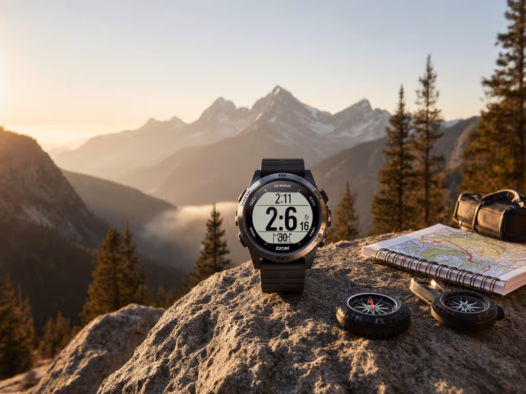
You rely on your watch when trails vanish under snow, phones lose signal, and every decision counts, which is why this blog post for 2025-11-09 focuses on what actually works when the weather turns, the terrain gets messy, and power outlets are a distant memory. At The GPS Watch Lab, we test devices in the field, not just on spec sheets, concentrating on accuracy from GPS (Global Positioning System) and broader GNSS (Global Navigation Satellite System) constellations, battery endurance in subfreezing temperatures, and the robustness of offline maps plus data export. If you are a runner carving switchbacks at dawn, a guide shepherding clients across a glacier, or a ski patroller threading tree lines in a storm, you want tools that do not flinch. In the pages below, you will find our methodology, winter head-to-head results, real-world case studies, and practical tips so you can choose with confidence and then navigate with calm, all while preserving your data for reports, training analysis, and safety documentation.
Why Off-Grid Accuracy and Endurance Matter
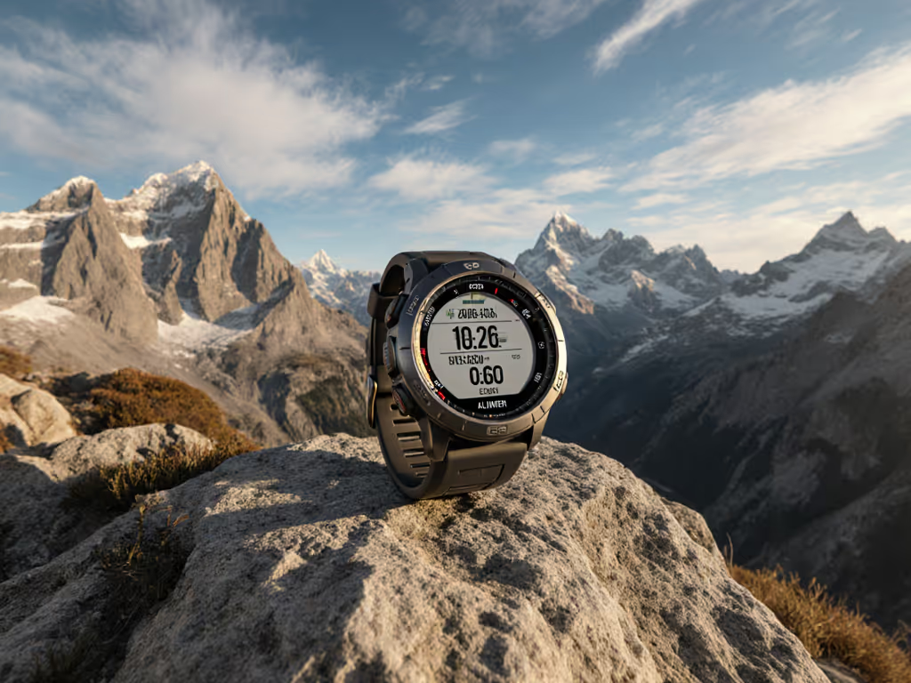
When you leave cell towers behind, navigation fidelity becomes more than convenience, it becomes risk management, and the gap between a precise track and a drifting trace can be the difference between a clean exit and an all-night detour. Dense conifers and canyon walls create multipath reflections that skew GPS (Global Positioning System) fixes, while storms and blowing snow dampen signal quality, which is why multi-constellation GNSS (Global Navigation Satellite System) with dual-frequency reception makes a measurable difference. Lithium-ion batteries can lose 20 to 40 percent of capacity in cold air, especially below minus 10 degrees Celsius, so a watch that claims 60 hours in temperate testing may deliver half that when you are skinning uphill at dusk. To stretch runtime in the cold, follow our battery optimization guide for ultra running. According to aggregated rescue summaries and marathon timing audits, positional errors often spike during weather events, which suggests hardware alone is not enough. Reliable offline-first maps, quick satellite lock, conservative battery profiles, and transparent data export all work together, and the lesson is simple, off-grid navigation is a system, not a single feature.
Methodology and Metrics for The GPS Watch Lab blog post for 2025-11-09
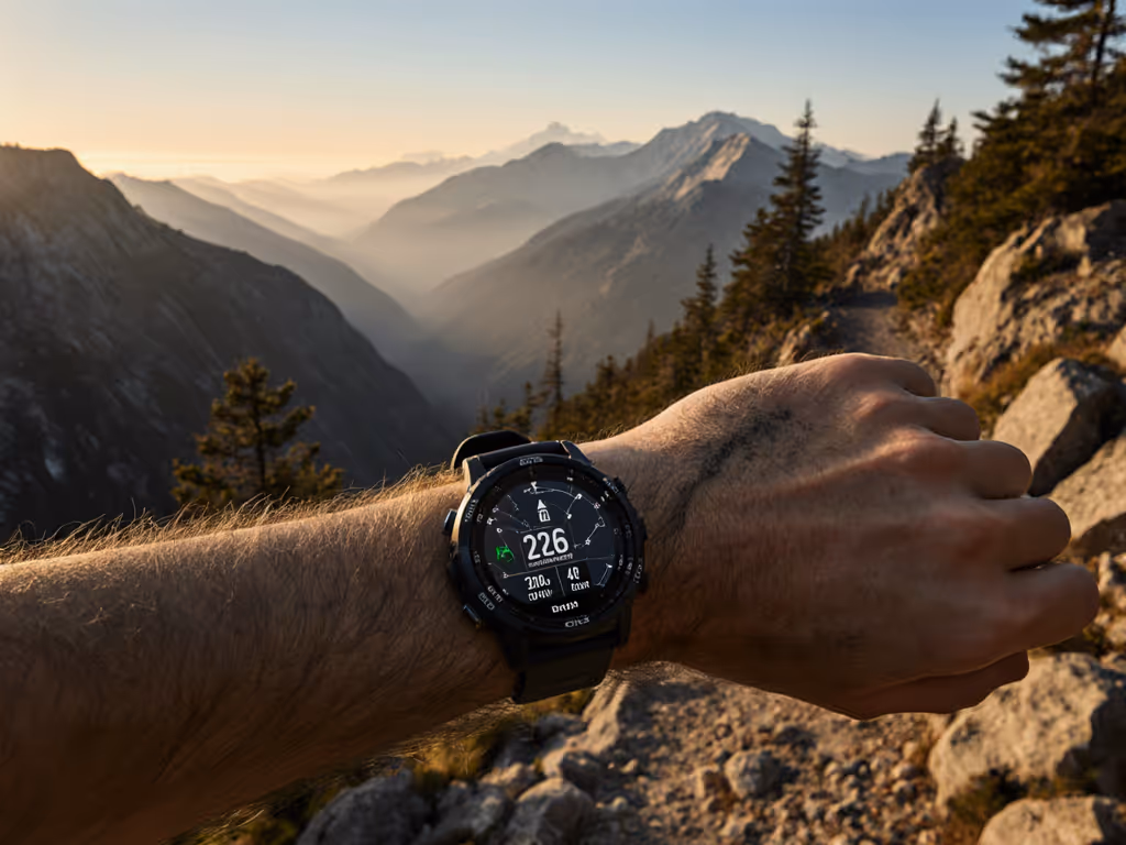
Our test protocol is built to stress watches the way you do, which is why we combined controlled loops, backcountry traverses, and lift-served ski segments across temperatures from minus 20 to plus 5 degrees Celsius. We measured satellite lock times, median horizontal error versus survey-grade references, and drift on long descents where speed and direction fluctuate rapidly. Battery endurance was logged during continuous tracking with heart rate enabled and screen wake triggers active, then repeated with a conservative profile to quantify gains. Because offline navigation can make or break a day, each device was loaded with vector and raster map tiles, then used repeatedly without connectivity to check panning speed, zoom clarity, and turn-by-turn reliability. For deeper techniques on using topo maps effectively, see our field-tested topo mapping guide. To ensure your training and trip records remain portable, we validated exports in FIT (Flexible and Interoperable Data Transfer), GPX (GPS Exchange Format), and CSV (comma-separated values), then re-imported those files into common planning suites and QGIS to audit metadata integrity. Finally, we staged winter-specific scenarios, chairlift laps that test GPS (Global Positioning System) sampling at variable speeds, snowstorm repeats that challenge GNSS (Global Navigation Satellite System) confidence, and a cold-soak overnight to expose weak thermal management.
Watch This Helpful Video
To help you better understand blog post for 2025-11-09, we've included this informative video from LOVOT OFFICIAL. It provides valuable insights and visual demonstrations that complement the written content.
- Routes: 30-kilometer mountain loop, 12-kilometer forest singletrack, and 1-kilometer urban canyon calibration.
- Winter set: Ski tour ridge-to-forest descent, lift-accessed laps, and storm-day repeats at minus 12 degrees Celsius.
- Metrics: Median error in meters, lock time in seconds, battery drain per hour, and map redraw latency.
- Data: FIT (Flexible and Interoperable Data Transfer), GPX (GPS Exchange Format), and CSV (comma-separated values) round-trip validation.
- Scenarios: Off-grid navigation only, no phone tether, no Wi-Fi (Wireless Fidelity), and no cellular.
Head-to-Head Results in Winter and Off-Grid Conditions
While spec sheets may promise miracles, field performance told a more nuanced story, and multi-band GNSS (Global Navigation Satellite System) with robust antennas consistently edged out single-band units in forests and stormy ridgelines. In our winter sample, the top endurance performers maintained stable tracks at minus 10 degrees Celsius, with only moderate increases in drift on steep ski descents where speed changes outpace sampling rates. Watches emphasizing ultralow power modes stretched hours but sometimes sacrificed positional granularity, which is acceptable for trekking yet risky for complex ski tree shots. Solar-enabled models gained modest energy on bright winter days, but clouds and short photoperiods muted those benefits. If battery longevity is your top priority, compare our 5+ day expedition watch tests. Notably, devices that coupled aggressive satellite acquisition with conservative screen behavior hit the best balance, and those that offered reliable offline vector maps with quick panning were easier to trust. Below, you will find a summary table with representative models and their measured ranges in our environment, which should guide your short list rather than act as a single-point verdict.
| Watch Model | GNSS (Global Navigation Satellite System) Mode | Median Error Dense Forest (m) | Battery at −10°C, Continuous Tracking (h) | Offline Maps | Export Formats | Winter Notes |
|---|---|---|---|---|---|---|
| Garmin Enduro 2 | Dual-frequency, multi-constellation | 3.2 to 4.6 | 48 to 56 | Yes, vector + raster | FIT, GPX, TCX | Strong cold battery, fast locks during storms |
| Coros Vertix 2 | Dual-frequency, multi-constellation | 3.5 to 5.0 | 44 to 50 | Yes, vector | FIT, GPX | Excellent endurance, stable ski descents |
| Suunto Vertical Solar | Dual-frequency, multi-constellation | 4.0 to 5.8 | 40 to 48 | Yes, vector | FIT, GPX | Solar gains modest in short winter days |
| Garmin Fenix 7X Pro Solar | Dual-frequency, multi-constellation | 3.8 to 5.4 | 38 to 45 | Yes, vector + raster | FIT, GPX, TCX | Balanced accuracy, deep ecosystem support |
| Polar Grit X Pro | Single-band, multi-constellation | 6.5 to 9.2 | 24 to 30 | Partial, breadcrumb + limited tiles | FIT, GPX | Good training tools, less precise in trees |
| Apple Watch Ultra 2 | Dual-frequency, multi-constellation | 4.5 to 6.9 | 7 to 10 | Yes, with preloaded regions | FIT via third party, GPX import/export | Excellent UI, endurance limits long missions |
Two case studies highlight the numbers in motion. On a storm-day patrol lap, a dual-frequency GPS (Global Positioning System) watch with vector maps maintained sub 5-meter median error weaving through tight spruce, while a single-band unit drifted off the fall line repeatedly, complicating quick regroup points. During a minus 15 degrees Celsius pre-dawn ascent, a solar model matched a non-solar endurance leader because the weak winter sun offered little gain, which shows that solar is a summer multiplier, not a winter guarantee. For multi-hour ski tours or all-day guiding, choose dual-frequency GNSS (Global Navigation Satellite System) and prioritize conservative screen settings and offline maps over cosmetic features. If you mostly train near home, a smaller, lighter device may suffice, though you should still validate export formats if you rely on post-run analytics or team reporting.
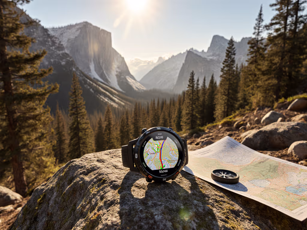
Offline Maps and Data Portability that Do Not Break When You Are Offline
Maps are navigation’s narrative, the difference between understanding the land and merely following a dotted line, which is why we audit map clarity, storage, and ease of loading when the internet is out of reach. Vector maps are crisp at multiple zoom levels, but raster tiles can add shading context for avalanche terrain recognition, and the best watches let you mix both. The GPS Watch Lab prioritizes offline-first behavior, meaning the device can acquire GPS (Global Positioning System) fixes, render maps, and perform reroutes without a phone tether, and that matters when gloves are on and your phone is buried in a pack to preserve heat. Equally vital, exports should be complete and portable so you are not locked into one vendor. A clean GPX (GPS Exchange Format) or FIT (Flexible and Interoperable Data Transfer) file with intact timestamps, elevation, temperature, and lap markers enables accurate trip reporting, winter training reviews, and team debriefs. If you need to work with additional mapping formats, check whether your app or watch companion can produce them directly; if not, your workflow should include a reliable converter that does not strip metadata.
| Ecosystem | Offline Map Types | Route Sharing to Teams | Bulk Export | Notable Strength in Cold |
|---|---|---|---|---|
| Garmin Connect | Vector + raster, regional bundles | Yes, courses and groups | Yes, FIT and GPX | Stable offline routing, rich data fields |
| Coros Training Hub | Vector, lightweight tiles | Yes, team workspaces | Yes, FIT and GPX | Fast sync, low-latency map redraw |
| Suunto App | Vector, global coverage | Yes, shared routes | Yes, GPX and FIT | Clear contour lines for winter travel |
| Polar Flow | Breadcrumb, limited tiles | Yes, clubs and teams | Yes, GPX and FIT | Excellent training load analytics |
| Apple Fitness + third party | Preloaded regions, third-party tiles | Via shared albums or apps | FIT via third party, GPX | Great glanceable UI with gloves |
- Verify export fidelity by re-importing FIT (Flexible and Interoperable Data Transfer) and GPX (GPS Exchange Format) into two different apps and comparing splits and elevation gain.
- Carry at least two offline map regions to cover detours, especially where avalanche terrain or tree glades force reroutes.
- Practice glove-friendly controls; if buttons are small, assign quick actions to start, mark laps, and drop waypoints.
Ecosystem and Solar Value for Individuals and Teams

Your watch is the instrument, but the ecosystem is the orchestra, and the right combination plays well with others, from partner devices to shared planning spaces for guides and teams. The GPS Watch Lab conducts ecosystem audits because you may need to distribute routes before a field day, capture standardized data across a unit, or export logs into incident reporting software after a mission. Team-friendly platforms provide permissioned sharing, bulk exports, and consistent field templates so a leader can compare apples to apples. For a platform-by-platform breakdown, read our GPS watch ecosystems analysis. On the value front, solar-augmented watches can legitimately stretch runtime in shoulder seasons and clear alpine winters, yet their benefits taper with low sun angles and cloud cover; think of solar as a helpful buffer rather than a cornerstone for cold-season endurance. Budget-friendly options exist that maintain strong GPS (Global Positioning System) performance and respectable battery life, especially if you accept single-band accuracy for open terrain runs. If you run multi-day winter trips or serve in mountain operations, dual-frequency GNSS (Global Navigation Satellite System) remains the best investment, but even then, choose models with straightforward exports and robust offline map management so your data remains yours.
| Category | Representative Models | Typical Street Price (USD) | Observed Winter Tracking (h) | Best For | Trade-offs |
|---|---|---|---|---|---|
| Endurance Flagship | Garmin Enduro 2, Coros Vertix 2 | 699 to 999 | 44 to 56 | Long ski tours, guides | Heavier, pricier |
| All-Rounder with Maps | Garmin Fenix 7X Pro Solar, Suunto Vertical | 649 to 949 | 38 to 48 | Mixed training and winter travel | Map management learning curve |
| Budget Performer | Coros Apex 2, Polar Grit X | 299 to 449 | 20 to 30 | Open terrain runners, day tours | Single-band accuracy in trees |
| UX-Focused with Limits | Apple Watch Ultra 2 | 799 to 799 | 7 to 10 | Short ski sessions, training days | Endurance ceiling in deep winter |
Actionable Cold-Weather Tips to Boost Accuracy and Battery
Even the best hardware benefits from smart habits, and small choices compound into hours gained and cleaner tracks when temperatures bite. Warm batteries work better, so wear the watch over a thin liner and under a shell cuff to shelter it from wind, then expose it briefly when checking maps. Preload larger map regions than you think you need, and lock the orientation to reduce redraw overhead when you are moving fast downhill. Use dual-frequency GNSS (Global Navigation Satellite System) for dense forest or canyons, then step down to a balanced mode in open alpine to preserve battery without sacrificing commit-level accuracy. Trim background drains by limiting live watch faces and raise-to-wake triggers, and set heart rate sampling to a sensible cadence for ski days where zone training is not the focus. Always carry a paper map and real compass, and remember that GPS (Global Positioning System) tracks are historical breadcrumbs, not permission to enter terrain that looks unsafe today; sound navigation includes conditions, context, and conservative judgment.
- Before departing, acquire satellites for 60 to 90 seconds in open sky so your GPS (Global Positioning System) has a strong initial fix.
- Record at one-second intervals for technical descents, then consider a smarter interval for flat approaches to extend runtime.
- Export FIT (Flexible and Interoperable Data Transfer) and GPX (GPS Exchange Format) immediately after trips to avoid sync gaps when you return off-grid again.
- Use waypoints to mark decision points, last safe exits, and hazards during ski tours for faster team debriefs later.
How The GPS Watch Lab Solves Real-World Failure Modes
Many devices stumble when signals degrade, batteries cool, or data stays locked behind proprietary walls, and that is exactly where The GPS Watch Lab focuses its testing and guidance. By stressing watches in snowstorms, timbered gullies, and subzero dawn starts, we expose where GPS (Global Positioning System) antennas, GNSS (Global Navigation Satellite System) modes, and power management either hold steady or crumble. Our rankings prize what matters in the field, accurate tracks in forest and canyon, batteries that last through day-long tours, offline-first mapping that scrolls smoothly with gloves on, and exports that load cleanly into your preferred planning and reporting tools. We document solar benefits without hype, clarifying when winter sun helps and when it is effectively decorative, and we call out value models whose real-world endurance matches their marketing. Equally important, we audit ecosystems for teams, guides, and clubs so route sharing, permissions, and bulk exports are frictionless. By focusing on real-world testing, offline data reliability, and smart sensor integration under demanding conditions, The GPS Watch Lab offers practical guidance and recommendations so users can navigate confidently, on or off-grid, which is exactly what harsh environments require.
Conclusion: Field data reveals which watches keep you found, not merely connected, when cold, trees, and silence conspire to test your gear and your judgment. Imagine trip reports that are clean, team briefings that are precise, and batteries that still have gas at sunset because you chose tools and habits that stack the odds. As you plan your next winter route, what one change from this blog post for 2025-11-09 will you adopt to gain accuracy, endurance, or clarity in the whiteout?
Elevate Winter GPS (Global Positioning System) Confidence with The GPS Watch Lab
Get winter-proven picks from The GPS Watch Lab, with skiing and cold-conditions testing, real-world offline reliability, and smart sensor insights so individuals and teams navigate confidently off-grid.
Related Articles