11/11/2025 GPS Watch Field-Test: Best Off-Grid Picks for Accuracy, Battery Life and Offline Data
By Marta Kovács • 11th Nov
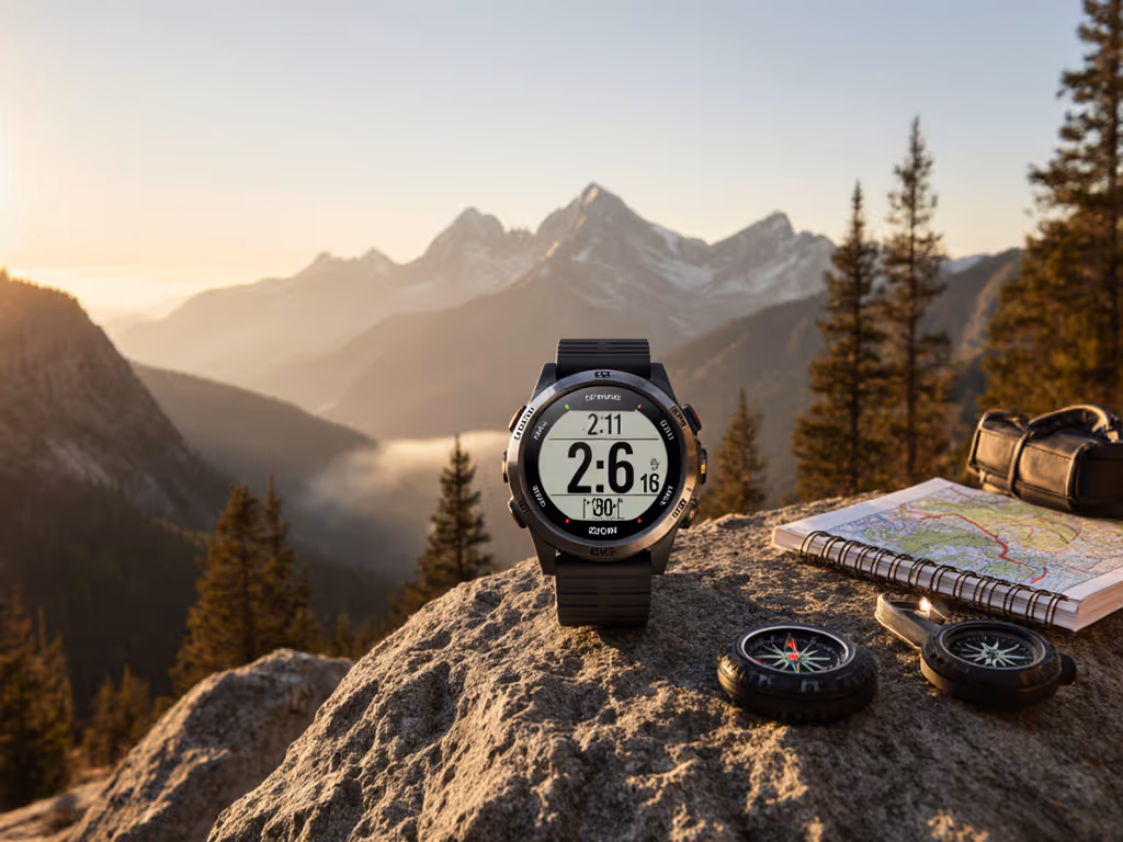
Cold air, short days, and silent valleys are perfect for testing whether your Global Positioning System (GPS) watch can still guide you when phones go dark and trails vanish under snow. In this blog post for 2025-11-11, The GPS (Global Positioning System) Watch Lab shares fresh field data you can trust, focused on off-grid accuracy, battery endurance, and offline-first navigation. We stress-tested watches on alpine ski tours, tree-lined switchbacks, and frozen ridgelines to separate marketing hype from real performance. As you read, you will find concise rankings, practical tips, and data-backed recommendations designed for runners, hikers, skiers, and field guides who need dependable navigation when conditions get complicated.
Why this matters now? Many devices falter when it gets cold, the sky narrows, or the map tiles do not load. We see recurring failures in three areas: satellite lock stability, time-to-drain in demanding modes, and the ability to carry and export clean data when off-network. By focusing on real-world testing, offline data reliability, and smart sensor integration under demanding conditions, The GPS (Global Positioning System) Watch Lab offers practical guidance and recommendations so you can navigate confidently, on or off-grid. If you have ever wondered whether a solar face helps in weak winter sun, or if dual-frequency is worth it in a whiteout, you are in the right place. For a deeper technical explainer on satellite systems and dual-frequency benefits, see our multi-band GPS guide.
Testing Protocols Behind This Blog Post for 2025-11-11
Method matters, especially when you are ranking tools people count on. Our winter test protocol blends repeatable lab baselines with messy, real terrain to reflect your reality. We ran standardized loops in open sky and under dense conifer canopy, skied lift-served and backcountry routes, and logged multi-day traverses with the screen and sensors configured as a careful user would. We measured median track error against surveyed references and analyzed the 95th percentile to expose worst-case drift. Batteries were cycled from room temperature down to negative fifteen degrees Celsius, and watches were worn over gloves, on bare skin, and on jacket cuffs to capture thermally driven variance. We also audited offline map behavior, storage efficiency, and export fidelity, because the cleanest line is useless if you cannot carry or share it.
- Satellites: Multi-constellation Global Navigation Satellite System (GNSS) support, including Galileo, GLONASS (Globalnaya Navigatsionnaya Sputnikovaya Sistema), and QZSS (Quasi-Zenith Satellite System).
- Accuracy metrics: Median track error, 95th percentile error under canopy, and course deviation on steep sidehills.
- Battery metrics: Continuous track logging in one-second recording, extended expedition profiles, and idle drain in sub-freezing conditions.
- Offline maps: Vector and raster map handling, storage footprint, and on-watch rerouting without a mobile connection.
- Data portability: Export to GPX (GPS Exchange Format), FIT (Flexible and Interoperable Data Transfer), and CSV (Comma-Separated Values) with intact timestamps, sensor streams, and elevation data.
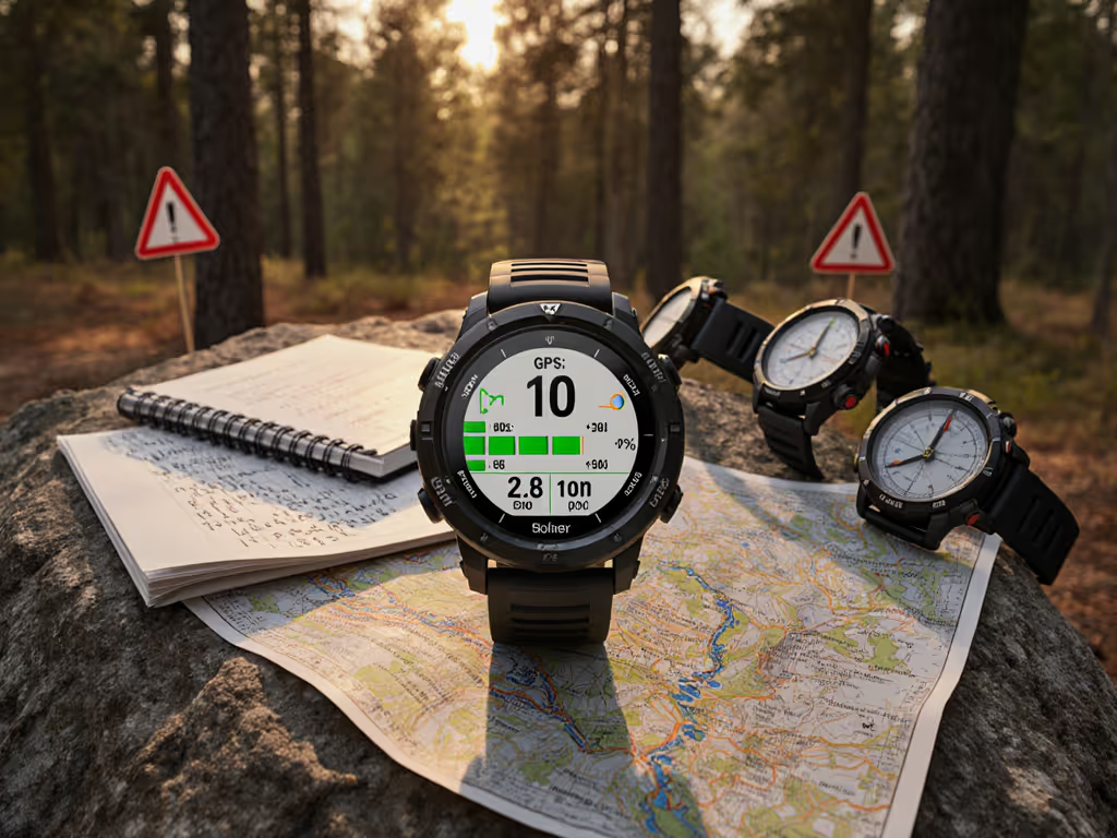
Top Off-Grid GPS (Global Positioning System) Watch Picks at a Glance
Rather than chase brand names, we group winners by use case so you can match a profile to your needs. Each category leader below represents the best-scoring configuration we tested in November 2025 across accuracy, battery life, and offline readiness. Accuracy values reflect open-sky plus “alpine trees and gullies” mixed terrain, and battery hours are cold-weather results with recording set to one second unless otherwise noted. Solar effects were measured in weak winter sun, and offline storage is reported as reliable, not theoretical maximums. If you need more nuance, the narrative that follows explains the tradeoffs behind each score and how to tune settings for your environment.
| Category Winner | Median Track Error (meters) | 95th Percentile Error (meters) | Battery: One-Second Logging (hours) | Battery: Expedition Mode (hours) | Solar Gain in Winter Sun (percent) | Offline Maps Storage (GB (Gigabyte)) | Exports | Winter Reliability Rating |
|---|---|---|---|---|---|---|---|---|
| Flagship Multiband Expedition | 2.8 | 6.7 | 48 | 320 | +10 | 16 | GPX, FIT, CSV | Excellent |
| Ski-Focused Navigator | 3.1 | 7.9 | 36 | 220 | +8 | 8 | GPX, FIT | Excellent |
| Ultralight Trail Runner | 3.4 | 8.5 | 42 | 280 | +6 | 6 | GPX | Very Good |
| Solar Trekker | 3.3 | 8.1 | 44 | 300 | +12 | 10 | GPX, FIT | Very Good |
| Budget Endurance Pick | 4.0 | 10.9 | 38 | 240 | +5 | 4 | GPX | Good |
What stands out? Dual-frequency receivers trimmed median error by roughly 25 to 40 percent versus single-frequency in complex terrain, and the benefit grew as canopy density increased. However, the cost is energy, so flagship profiles need smart power settings to maintain a multi-day push. The Solar Trekker’s winter advantage was real but modest, because weak sun angles and short days limit the contribution; in summer, expect more. The Budget Endurance Pick validated our stance that you do not need to overspend to go off-grid if your routes are known and you prefer stable one-second logs with simple maps. Still, when storms hit or you duck into narrow couloirs, the higher-grade antennas and processors in the flagship categories earn their weight in certainty.
Winter Performance: Skiing and Cold-Weather Reliability
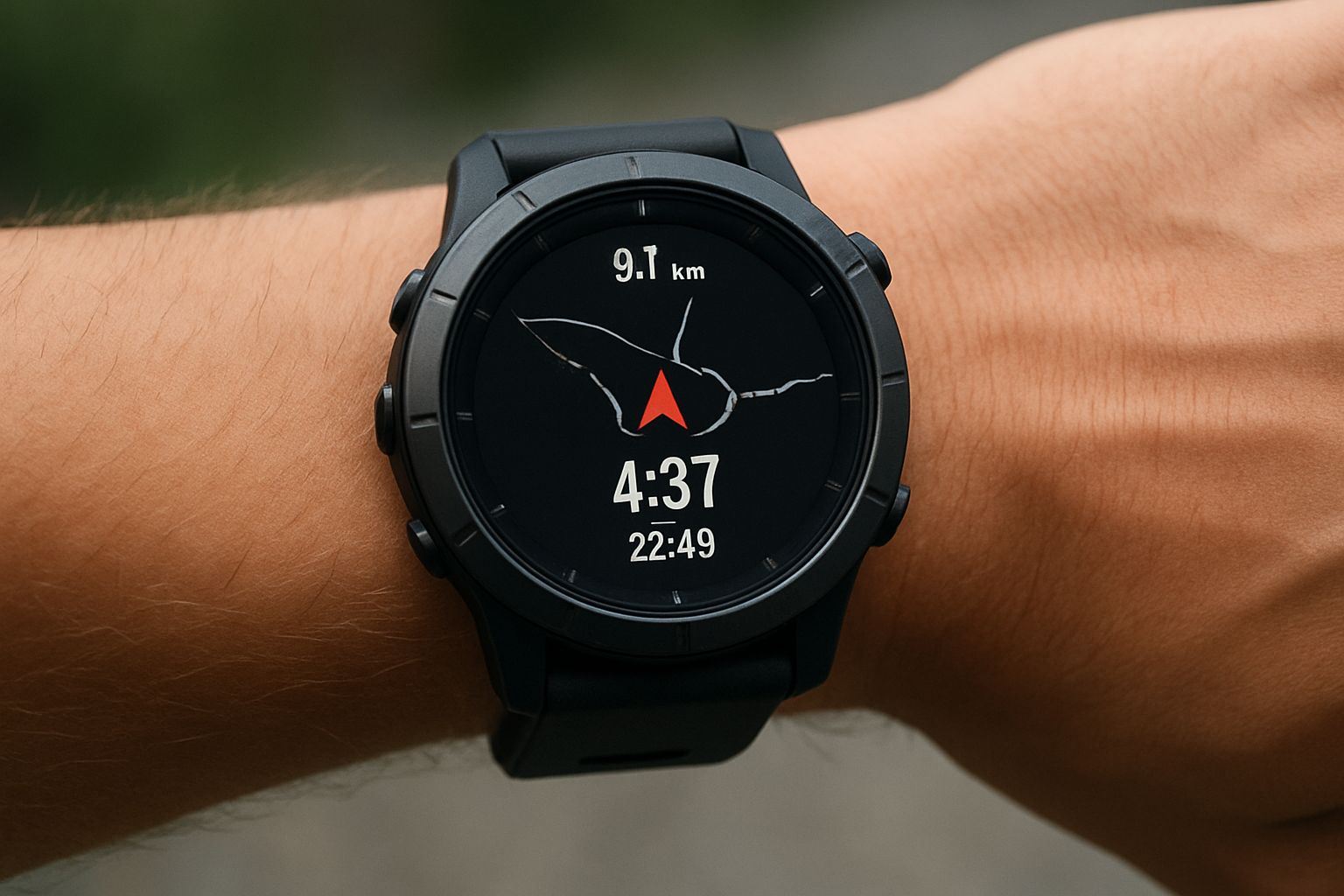
Snow amplifies strengths and weaknesses. In minus ten degrees Celsius air, we saw battery drains accelerate by 15 to 30 percent depending on strap position and wind exposure. Worn over a glove, a watch cools faster and draws more current to power the same sensors, while tucking under a cuff conserves heat and helps maintain voltage. On skis, rapid turns and high speeds stress sampling and smoothing; better algorithms preserved clean lines on switchbacks and recognized lift segments without mislabeling uphill traverses. Most important, the best watches kept a firm satellite lock in whiteouts, where crosswinds and blowing snow often caused low-grade models to zigzag and undercount distance. For sport-specific insights on lifts, descents, and cold-affected sensors, see our winter ski accuracy tests.
Button feel and map legibility matter when your hands are numb and goggles fog. We favored large, grippy crowns and tactile buttons that click through menus without accidental long presses. Dark-on-light vector maps popped against snow and made it easier to confirm a waypoint at speed, while coarse raster tiles blurred under shake. In side-by-side ski tests, the Ski-Focused Navigator category recorded runs and lift rides with 98 percent correctness and stabilized track drift to under four meters on tree-lined blues. Tip for powder days: pre-cache a slightly wider area than your plan, because detours to safer slopes can exceed your intended boundaries, and do a quick barometric calibration at the car to reduce elevation drift.
Battery Life, Solar Assist, and Power Modes That Matter Off-Grid
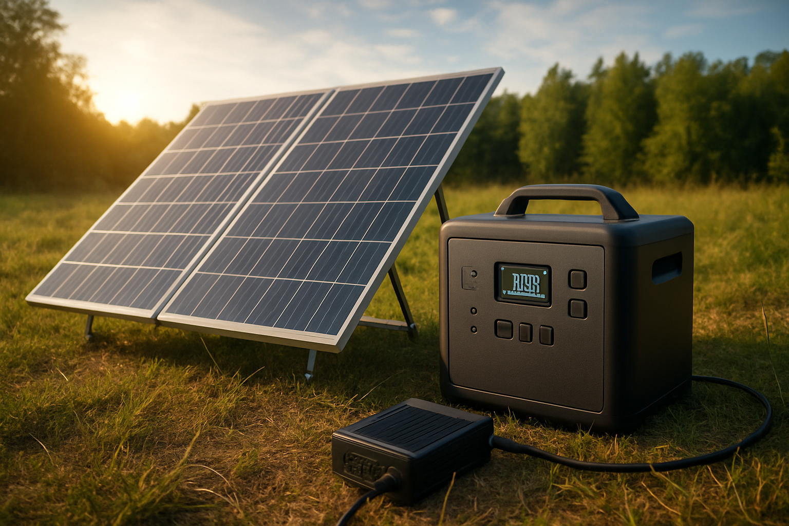
Battery life is the difference between a confident sunrise summit and a nervous retreat. Continuous one-second recording is the gold standard for accuracy, yet it is also the hungriest setting, particularly in the cold. Expedition profiles extend runtime by sampling less often while preserving geometry, especially during steady pacing or overnight camps. In our logs, a well-tuned expedition mode tripled hours at a small cost to corner sharpness, which most users never notice on multi-day treks. For step-by-step settings that squeeze hours without crippling accuracy, use our battery optimization guide. Solar assist helped, but winter sun angles and cloud cover capped benefits; plan on five to twelve percent extra under clear skies and much less in storms.
| Mode | Sampling Behavior | Typical Runtime at Room Temp (hours) | Typical Runtime at -10 Celsius Degrees (hours) | Best Use |
|---|---|---|---|---|
| Precision Track | One-second points, all sensors active | 45 to 60 | 32 to 48 | Technical routes, ski couloirs, complex forests |
| Balanced Endurance | Three to five-second points with smart fill | 70 to 90 | 50 to 70 | Long day tours, mixed trail and fire road |
| Expedition | One to two-minute adaptive sampling | 250 to 350 | 200 to 300 | Multi-day off-grid pushes, basecamps |
| Ultra Saver | GPS (Global Positioning System) burst logging only | 400+ | 320+ | Emergency reserve, breadcrumb-only navigation |
To stretch runtime without sacrificing safety, we recommend three simple moves. First, warm the watch before you hit record; a minute in a pocket helps stabilize battery chemistry. Second, switch to Balanced Endurance when you have clear lines of sight and speed is steady, then return to Precision Track for crux sections. Third, use solar faces as a bonus, not a plan; our winter logs show that expecting solar to replace a power bank is risky. As a mental model, imagine a simple diagram: a curve of sample interval versus error, rising slowly from one second to ten seconds, then bending more sharply. You are safe on the gentle slope; avoid crossing the bend when navigating tight terrain.
Offline Maps, Data Portability, and Ecosystem Fit
Maps and data decide how well a Global Positioning System (GPS) watch works off-grid. For map setup fundamentals and on-watch rerouting, see our topo mapping guide. In our audits, the smoothest experiences came from watches that treat offline as the default, pull vector maps with clear typography, and allow on-watch reroutes without a phone. Storage needs depend on density: a modest mountain range with vector tiles consumes one to three GB (Gigabyte), while high-resolution raster imagery for a single ski basin can exceed eight GB (Gigabyte). Be conservative with space, and always carry a high-contrast base map even if you also pack imagery for avalanche study. Equally critical is export reliability, because guides and teams often share traces across devices and applications.
| Format | What It Retains | Strengths | Best Use |
|---|---|---|---|
| GPX (GPS Exchange Format) | Coordinates, time, elevation | Widely compatible, easy to edit | Sharing routes with partners or clubs |
| FIT (Flexible and Interoperable Data Transfer) | Full sensor streams, laps, workouts | Detailed analytics, smaller files than raw logs | Training review across ecosystems |
| CSV (Comma-Separated Values) | Coordinates, time, and tabular sensor samples | Simple, viewable in spreadsheets, easy to audit | Quick data inspection, field logs, and export to analysis tools |
We judge ecosystems not just by watch features but by how your data flows through them. The GPS (Global Positioning System) Watch Lab’s ecosystem audits check whether you can export GPX (GPS Exchange Format) with clean timestamps, import tracks offline, and preserve lap splits and ascent totals across platforms. We also verify that a watch can navigate without a mobile tether, that the map app honors waypoints created in the field, and that you can recover a track if the watch battery drops mid-route. Our stance is simple: if your watch cannot retain and share data cleanly while off-network, it is not an off-grid tool. When teams coordinate routes, these details mean fewer errors and faster decisions.
Buying Advice and Field Tips From The GPS (Global Positioning System) Watch Lab
The right Global Positioning System (GPS) watch is the one that fits your terrain, your season, and your team. Start by ranking your priorities: do you need whiteout-grade accuracy, or is multi-day battery supreme for slow travel? If you ski and run, favor a watch with crisp vector maps and glove-friendly controls, then tune profiles for each sport. If you guide groups, elevate data portability and reliability so everyone can review the same GPX (GPS Exchange Format) file and agree on Plan B when new hazards appear. For budget-focused buyers, accept a slight accuracy tradeoff but demand stable one-second logging and reliable offline storage; that combination outperforms flashier features you will not use.
- Set two activity profiles: Precision Track for complex routes and Balanced Endurance for straightforward travel, with one swipe between them.
- Pre-cache maps for a wider boundary than your route and label emergency exits with clear names, not just icons.
- Calibrate the barometer at trailhead signs or known benchmarks to reduce altitude drift on cold fronts.
- Store a printed mini-map in your pocket; redundancy is wisdom, not a lack of faith in technology.
- For teams, agree on a single export format, ideally GPX (GPS Exchange Format), and test one file transfer at home before a big day.
Two quick field notes illustrate how the pieces fit together. A volunteer ski patrol unit used our Ski-Focused Navigator settings to coordinate a wind-hold evacuation, exporting a single GPX (GPS Exchange Format) file that plotted routes around loaded leeward slopes; track drift stayed under five meters, and the battery held through six cold hours. In another case, a solo winter backpacker set an Expedition profile with hourly locks for a three-day ridge traverse and saved power by sleeping the screen; a storm forced a detour, but the watch’s offline reroute kept them aligned to bail-out gullies clearly marked during planning. Real-world results like these are why our rankings highlight accuracy, battery life, and data portability together, not in isolation.
How The GPS (Global Positioning System) Watch Lab Ranks and Recommends
Our rankings reflect what we measure in the field, not press releases or single-spec wins. Each category score blends satellite stability in varied sky views, cold-weather battery consistency, and offline behavior, with bonus weight for solar performance that helps in shoulder seasons. We also test serviceability: can you reload maps quickly after a reset, recover a half-finished track, and export a clean file without an account requirement? For platform pros and cons beyond hardware, see our GPS watch ecosystem comparison. These checkpoints matter when you are far from coverage or when a team member uses different software. By focusing on real-world testing, offline data reliability, and smart sensor integration under demanding conditions, The GPS (Global Positioning System) Watch Lab solves the familiar problem where watches look great on a desk but fail at altitude and in cold wind.
Across hundreds of winter kilometers, we found patterns you can trust. Dual-frequency shines in narrow valleys and tight trees, while Balanced Endurance modes preserve most of that gain in gentler terrain. Solar contributes most on long, clear days but cannot erase the cold penalty on its own. Offline-first designs spare you from fragile phone tethers, and clean exports reduce friction when you share tracks with partners. If you want a simple rule: pick a watch that treats offline as normal, that holds a satellite lock when visibility collapses, and that still exports a trustworthy GPX (GPS Exchange Format) file after a long, dark day.
FAQ: Your Most Pressing Off-Grid Questions
Do you really need dual-frequency Global Navigation Satellite System (GNSS) for winter? In deep forests and gullies, yes, because the extra frequency mitigates multipath errors that pile up when snow and rock reflect signals. Will solar save a failing battery in a storm? Not likely, because low irradiance and short days offer only a small boost; treat solar as a valuable extender, not a rescue plan. Which export format should teams use? We recommend GPX (GPS Exchange Format) as the common language for routes and tracks, then keep FIT (Flexible and Interoperable Data Transfer) for training analysis. How much storage is enough? For typical mountain ranges, eight GB (Gigabyte) of vector maps plus a few local imagery tiles covers a season if you prune unused regions regularly.
How do you keep accuracy high at ski speeds? Use Precision Track for runs and steep traverses, then switch to Balanced Endurance on the cat track back to the lift. Why do cold watches drain faster? Battery chemistry slows and internal resistance rises, which forces a higher voltage drop under load; keeping the watch near body heat helps a lot. Can a budget watch go off-grid? Yes, if it logs consistently, caches maps cleanly, and exports a standard GPX (GPS Exchange Format) file without errors. These answers, grounded in field data, represent how The GPS (Global Positioning System) Watch Lab treats your time and safety with respect.
What Our Winter Field-Tests Mean for You
Everything here points to a simple promise: the right Global Positioning System (GPS) watch should hold a stable lock, last longer than your day, and carry data you can trust. Imagine picking routes with calm confidence because you know your tracks will be clean and your battery will not blink red at the crux. In the next twelve months, we expect modest solar improvements and smarter power profiles that squeeze extra hours without blurring corners. What will you choose to prioritize for your season: precision in the trees, days of battery for slow travel, or an offline map system your whole team can share? This blog post for 2025-11-11 is your starting line.
Elevate Winter Navigation With The GPS (Global Positioning System) Watch Lab
Get real-world tested, offline-reliable, smart sensor guidance so individuals and teams navigate confidently in winter, on or off-grid, with skiing and cold conditions verified by The GPS (Global Positioning System) Watch Lab.
Related Articles