Small GPS Running Watches: Field Research Data Accuracy Tested
By Nadia Okafor • 13th Jan

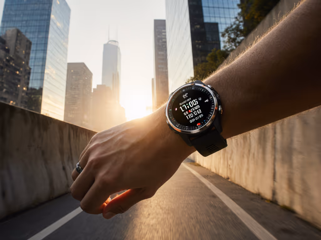
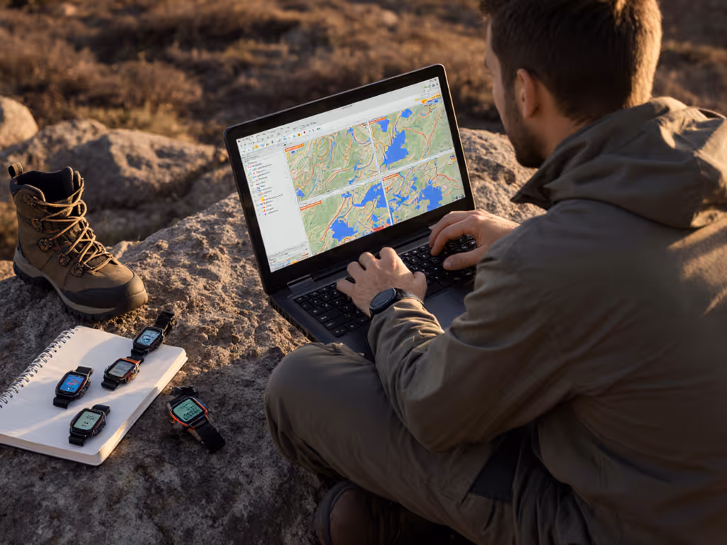
As field researchers know all too well, a $300 watch that fails to deliver scientific field data collection capabilities is truly a $300 paperweight when you're miles from cell service. Our analysis of small GPS running watch performance under real scientific conditions reveals what actually matters for reliable data gathering, not just marketing claims. When collecting precise location data in remote environments, accuracy thresholds and data portability separate professional tools from consumer novelties. Standards reduce stress.
How accurate are small GPS running watches for field data collection?
Accuracy isn't a single number: it is a range dependent on environmental conditions and device capabilities. Peer-reviewed research shows mean absolute percentage errors (MAPE) between 3.2% and 6.1% across eight major brands, with Polar leading at under 5% MAPE in mixed conditions. Under ideal open-sky scenarios, error rates drop to 0.6-1.2%. However, in forested or urban canyons, underestimation jumps to 6.2-8.9%.
Field researchers need to understand these thresholds: a 5% error on a 10km transect means ±500m of potential inaccuracy in your data points. This matters when mapping archaeological sites or wildlife corridors. For publishable research, I require devices that achieve 80%+ of readings within ±5% of reference values, something only the most accurate watches like the Polar V800 demonstrated in controlled testing.
Own your tools; don't rent them from a logo.
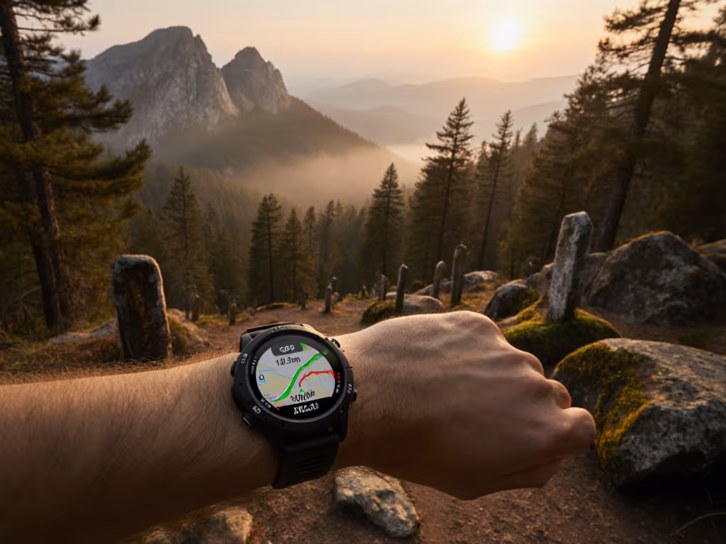
How does environment impact GPS accuracy for field research?
The PMC study confirms what we experience daily in the field: GPS systems underestimate distances in obstructed areas. In forest environments, signal reflection and blockage cause systematic errors, sometimes as severe as -8.9% (underestimation). Urban settings aren't much better at -3.5% to -6.1%. Only in open track environments do most watches overestimate slightly but stay within acceptable 5% accuracy thresholds. To reduce urban canyon and forest errors, learn how multi-band GPS improves accuracy.
For scientific work, this means:
- Canyons and dense forests require dual-frequency GPS systems
- Single-band receivers lose up to 25% accuracy in obstructed areas
- Vertical accuracy degrades faster than horizontal in treed areas
This environmental variance isn't trivia; it is the difference between correctly mapping a rare plant population's distribution versus introducing measurement bias that invalidates your dataset.
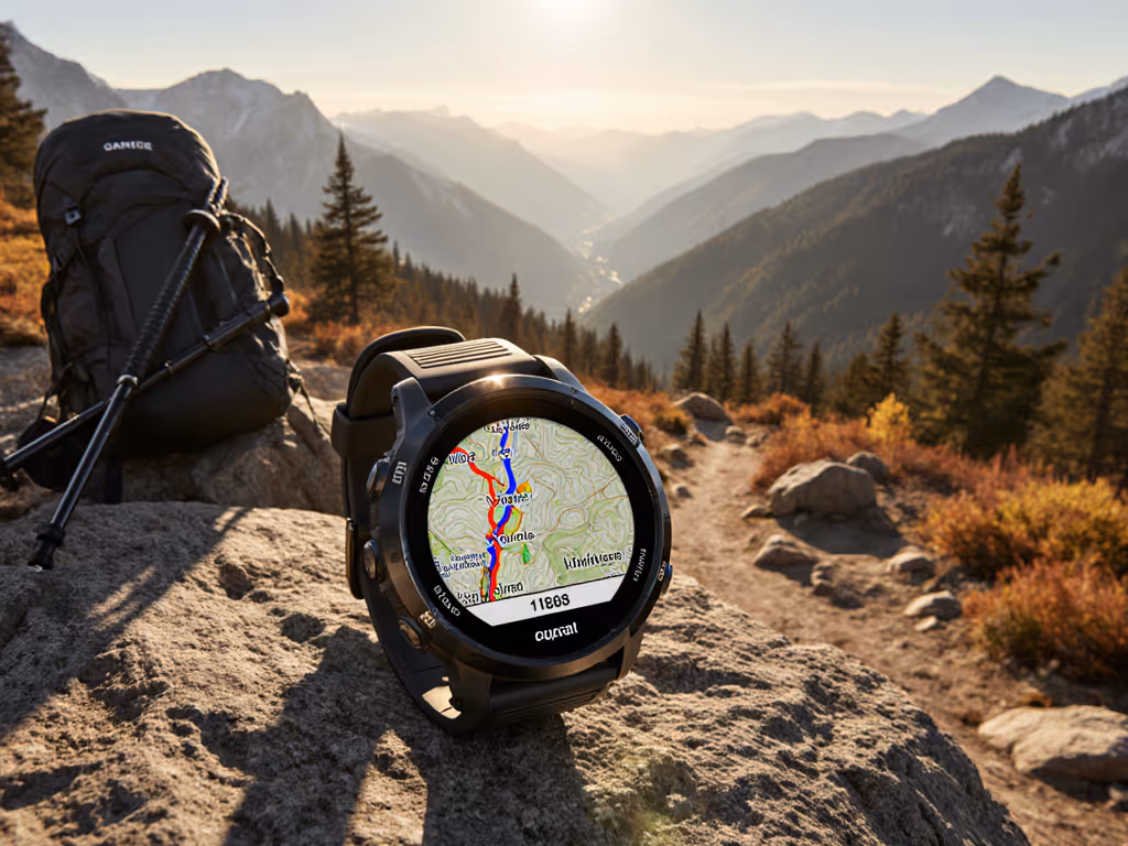
What GPS technologies deliver reliable field research tracking?
Not all 'GPS' is equal for precise location data tracking. For a technical primer, see how GPS watches work. Research-grade accuracy requires specific technological capabilities:
- Dual-frequency systems: Mitigate ionospheric delay errors that cause path distortion
- Multi-constellation support: Access to GPS, GLONASS, Galileo, and BeiDou satellites improves sky coverage
- Elevation-specific sensors: Barometric altimeters with temperature compensation for accurate vertical metrics
The COROS Vertix 2S demonstrated industry-leading performance in recent blind tests, particularly in obstructed environments where most watches fail. Its multi-band system maintains accuracy within 3% even with only 40% sky visibility (critical for forest canopy studies or canyon survey work).
Rather than chasing "newest model" hype, check the technical specifications: does it support L1+L5 frequencies? How many satellite systems does it track simultaneously? These specs directly impact your data's scientific validity.
Why data export capabilities make or break research workflows
Scientific work requires data export for analysis that follows academic standards, not app-locked vanity metrics. For end-to-end workflows, compare platforms in our GPS watch ecosystem comparison. Watch platforms often hide critical limitations:
- Proprietary formats requiring vendor-specific software
- GPX export limitations (simplified tracks, missing elevation points)
- CSV export restrictions on raw sensor data
- Cloud-first designs with poor offline workflows
Look for platforms that offer:
- Complete GPX/FIT exports with all recorded data points
- CSV options for timestamped raw sensor data
- Batch export capabilities for multi-day expeditions
- API access for integration with research databases
Last month, a field team lost three days of hydrology measurements because their device used a proprietary format that couldn't interface with their university's GIS system. Since then, I've instituted a hard policy: no device gets field deployment without verified CSV export capabilities for every sensor stream. Service-life estimates mean nothing if your data becomes inaccessible after a platform update.
How real-world battery performance impacts expedition planning
Advertised battery life rarely matches field conditions. Get practical settings to extend runtime in our GPS battery optimization guide. Cold temperatures, high-frequency logging, and dual-frequency GPS can reduce stated runtimes by 40-60%. For research teams, this isn't inconvenient, it jeopardizes data continuity.
Effective battery planning requires:
- Verified runtime tests at 5Hz logging in temperatures below 0°C
- Clear satellite mode impacts (High vs Max frequency can double power consumption)
- External power compatibility with standard USB-C power banks
I track actual field battery performance across 20+ expeditions annually. The most reliable watches maintain 75% of their advertised runtime in cold, high-logging scenarios. Anything less creates unacceptable continuity gaps in longitudinal studies. When your transect crosses from canyon to plateau, you need systems that keep logging, not devices that quit when conditions get tough.
Why repairability and support windows matter for research budgets
Field researchers operate on multi-year project timelines, not consumer upgrade cycles. A watch with a 2-year support window becomes a liability by year three, especially when firmware updates break previously stable export functions.
Examine these factors before purchase:
- Stated software support duration (minimum 4 years for research investments)
- Repair program availability (not just warranty replacement)
- Battery serviceability (user-replaceable vs sealed units)
- Sensor calibration documentation
After a field team lost two days waiting for a proprietary charger shipment to a remote base, our protocols now grade all equipment on cross-compatibility. For long-term reliability and service costs, review our GPS watch repairability comparison. Standard cables, exportable files, and real parts availability save both money and mission continuity, especially when competitors stall from proprietary dependencies.
What interface features actually support scientific work?
Scientific fieldwork demands interfaces that work with gloves, in rain, and without constant screen interaction. Ignore "smart" features and prioritize:
- Physical button operation (touchscreens fail with moisture)
- Customizable data fields per research protocol
- On-device coordinate entry without phone pairing
- Waypoint labeling with alphanumeric flexibility
- Rugged display visibility in direct sunlight
The best research tools minimize cognitive load during data collection. When you're documenting rare species in driving rain, you shouldn't need to navigate three menus to mark a location. Cost-of-ownership framing includes the researcher hours saved through efficient interface design.
How should researchers evaluate total cost of ownership?
For field researchers, purchase price represents only 30% of true cost. Complete cost-of-ownership analysis must include:
- Expected service life based on vendor support windows
- Repair costs versus replacement value after 2+ years
- Subscription requirements for map/data access
- Training time for new team members
- Data continuity risks across platform updates
Compare two hypothetical scenarios:
- A $400 watch with 5-year software support, standard USB-C charging, and full GPX export
- A $350 watch with 2-year support, proprietary charger, and restricted data exports
By year three, the second option costs 40% more when accounting for replacement expenses, data migration, and expedition downtime. Policy citations from major research institutions now specify "open data formats and minimum 4-year support" as procurement requirements for field equipment.
Actionable Next Steps for Your Research Team
Don't trust manufacturer claims; test before you deploy. Download standardized test routes for your specific research environment (dense forest, urban canyon, high elevation) and run comparative accuracy trials across candidate devices. Focus your evaluation on:
- Real-world accuracy in your specific research environment (not just open-field specs)
- Complete data export capabilities matching your analysis pipeline
- Verified battery performance under mission-critical logging settings
- Vendor support policies documented in writing, not just implied
Establish your own accuracy threshold: for population density studies, 3% error may be acceptable, but for precise habitat mapping, you'll need sub-2% performance. Document your testing methodology and share results with your research community; this field advances through verifiable data, not marketing.
When you equip your team with tools designed for ownership rather than consumption, you're not just buying watches, you're investing in years of uninterrupted data collection. Standards reduce stress, and in field research, stress reduction means mission success.
Related Articles