GPS Emergency Location Sharing: Off-Grid Tested
By Nadia Okafor • 12th Apr
GPS emergency location sharing and off-grid safety communication have moved from luxury to necessity for anyone working or traveling in remote terrain. But not all emergency systems are built with the same philosophy: some prioritize ecosystem lock-in and subscription models, while others anchor themselves to open standards and durable hardware. The difference surfaces in the field, and in your total cost of ownership over years of use.
This guide compares the three primary categories of emergency location systems, examines their operational architecture, and cuts through marketing claims to show you what actually survives field testing and policy scrutiny.
What Are the Main Types of Emergency Location Systems?
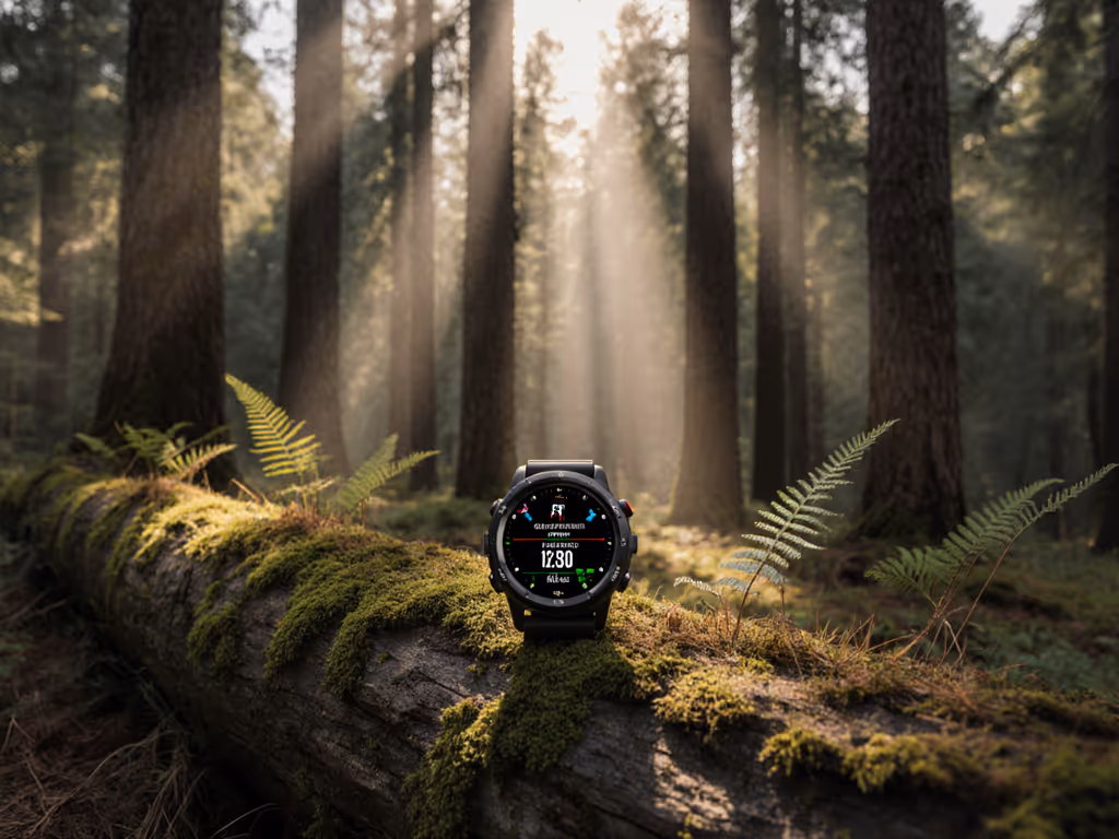
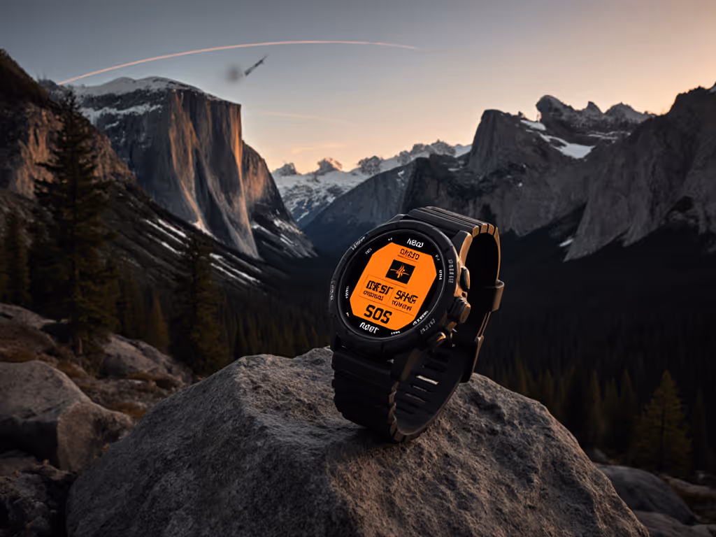
Three distinct technologies dominate emergency location sharing today, each with different operational costs, support windows, and data accessibility profiles. For watch-based emergency tools, see our GPS watch safety features guide.
Emergency Locator Transmitters (ELTs) are aircraft-mounted or portable devices that transmit on 406 MHz via the COSPAS-SARSAT satellite constellation.[1] Required in all U.S.-registered aircraft with limited exceptions, ELTs also serve as a baseline for aviation and some expedition teams.[1] They alert orbiting satellites with GPS position data and trigger rescue coordination through NOAA, which relays to the U.S. Air Force Rescue Coordination Center at Tyndall Air Force Base.[7] Accuracy is typically 100 meters or better, and activation costs nothing at the moment of emergency, but initial hardware investment and multi-year battery replacement cycles are substantial.
Personal Locator Beacons (PLBs) operate on the same 406 MHz COSPAS-SARSAT network as ELTs but are handheld, waterproof, and designed for ground teams, hikers, and mariners.[4] When activated, they send your GPS coordinates to rescue agencies via the satellite relay system.[4] The key feature: simplicity. A PLB is a single-purpose device with no messaging, no subscription, and no complex settings. Modern PLBs include a GPS receiver (earlier models used triangulation), a high-intensity strobe light, and a retractable antenna.[7] Response is coordinated through the same NOAA-to-USAF pathway as aircraft ELTs, typically resulting in rescue response initiation within one hour.[7]
Satellite Messengers (such as Garmin InReach and SPOT Gen4) are two-way communicators that use commercial satellite networks, not the government-operated COSPAS-SARSAT system.[4] They allow SOS transmission and two-way text communication with a monitoring center. Emergency alerts are routed to GEOS International Emergency Response Coordination Center in Houston, which coordinates with local search and rescue while attempting to maintain contact with you via text.[7] Rescue response typically initiates within one hour as well.[7] The trade-off: subscription fees for satellite connectivity, proprietary app ecosystems, and cloud-dependent workflows.
How Do These Systems Route Your Distress Signal?
The rescue pathway is not instant; it is orchestrated.
When you activate a PLB, your 406 MHz signal is received by orbiting COSPAS-SARSAT satellites, which relay your GPS coordinates and identification to NOAA.[7] NOAA then forwards your distress alert to the U.S. Air Force Rescue Coordination Center at Tyndall Air Force Base in Florida, which contacts the nearest local search and rescue team.[7] This architecture has been in place since 1973 and operates 24/7.[1][7] No subscription, no internet, no private monitoring center, just government-coordinated rescue.
Satellite messengers follow a different path. Your SOS alert reaches a private satellite operator (typically Globalstar or Iridium), which routes your message to GEOS International in Houston.[7] GEOS staff coordinates with local SAR teams and maintains two-way text contact with you during the emergency response.[4] This adds responsiveness (you can update rescuers as conditions change) and reliability (if local SAR is overwhelmed, GEOS maintains the thread). To design a layered setup that links your watch, PLB, and satellite communicator, read our GPS safety ecosystem guide.
ELTs follow the PLB pathway but are triggered either manually or by crash-detection sensors in an aircraft.
The critical difference for cost-of-ownership planning: PLBs and ELTs require no ongoing fees. Satellite messengers charge monthly or annual subscription fees (typically $15 to $30 per month depending on the plan) even if you never use them.[2] Over a 10-year career in remote work, that is $1,800 to $3,600 in subscription alone, on top of hardware cost.
What Level of Location Accuracy Should You Expect?
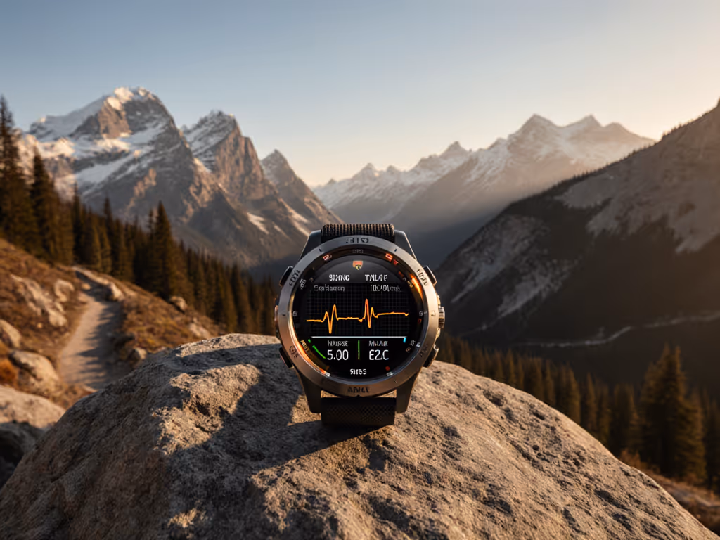
GPS-equipped modern PLBs and satellite messengers transmit coordinates accurate to 100 meters or better.[1][4] This is more than sufficient for rescue teams to narrow search grids and locate you within visible range.
Older COSPAS-SARSAT devices (pre-1990s) did not include GPS receivers; they relied on two-stage triangulation using the satellite signal and search-and-rescue aircraft, yielding accuracy measured in kilometers.[6] Modern PLBs eliminated this weakness. Today, a PLB with GPS and a strobe light becomes an active beacon: rescuers can see your location on a map and home in visually when they are close enough to spot the strobe.
Satellite messengers inherit the same GPS accuracy but add map context in your text exchanges with GEOS. Some users also enable a "check-in" feature that periodically broadcasts your location to designated contacts, creating a breadcrumb trail of your position over time.[2] This is a distinct feature from pure SOS: it is continuous, low-bandwidth, and often paired with personal tracking apps.
How Long Do Battery and Support Windows Last?
This is where ownership philosophy surfaces sharply.
PLBs are built on a single battery, typically designed for 7-10 year shelf life and rated for decades of non-use.[7] The trade-off: you cannot recharge a PLB. When the battery expires (typically marked on a replacement schedule) you must purchase a new device or replace the battery through the manufacturer.[7] Current models from manufacturers like rescueME cost $200-$600 upfront; replacement batteries or refurbished units cost $100-$300. Over 20 years of use, you may replace the device 2-3 times. Total ownership cost: $400-$1,200 plus replacement cycles.
Satellite messengers (InReach, SPOT) are rechargeable, usually via USB or proprietary cradles. Battery runtime ranges from 7-14 days depending on messaging frequency and satellite mode.[8] The device itself often remains in service for 5-7 years before hardware degradation (screen fade, button wear, cracked lens) or software obsolescence (app updates no longer support your model) forces replacement. Cost: $300-$600 per device, plus $1,800-$3,600 in subscriptions over the same period. Total ownership: $2,100-$4,200.
ELTs follow a similar battery replacement schedule to PLBs (7-10 year cycling) and are more expensive upfront ($500-$2,000) but are often installed in aircraft with scheduled maintenance, so battery replacement is absorbed into airworthiness checks.
The long-term question: Can you maintain the device without surrendering control to a manufacturer's upgrade cycle? PLBs, being single-purpose and low-tech, degrade slowly and can often be serviced independently. Satellite messengers depend on cloud services and app updates; if the parent company discontinues support for your model, you lose functionality even if the hardware is sound. This is the field team's dilemma: you acquire the device, but you do not fully own the ecosystem.
What Is Your Real-World Reliability Baseline?
Field testing matters more than spec sheets. Here is what the data shows:
PLBs have a proven track record in wilderness search and rescue. They work without internet, without apps, and without a charging cable. The single failure mode is battery depletion or physical damage to the antenna or strobe light, both are rare in typical use.[4][6] Activation is instant: one button press triggers the 406 MHz signal. Time from SOS to rescue initiation: 15-60 minutes in populated regions, longer in remote areas depending on SAR availability.[7] Reliability across weather, altitude, and terrain: consistently high.
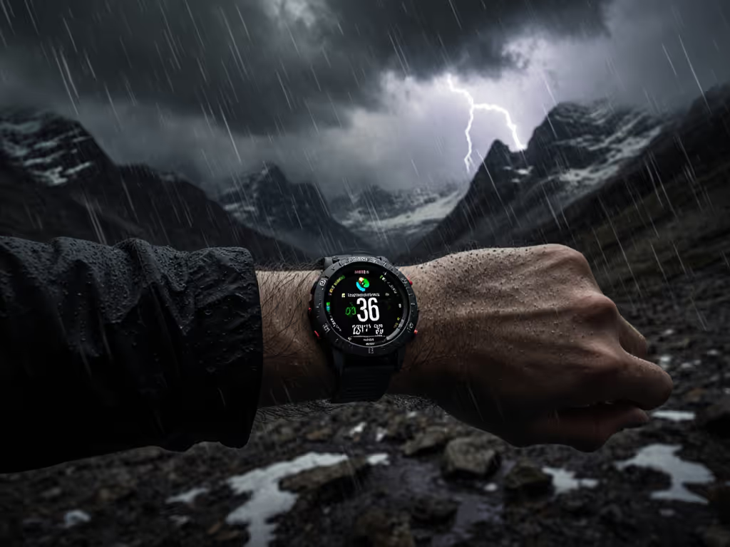
Satellite messengers are more complex. They require charging before use, depend on clear sky views to acquire satellites, and can experience latency during high-traffic periods (if many users are active simultaneously, message delivery may be delayed).[4] Activation is also simple (dedicated SOS button), but the device must be powered on and already holding a satellite lock. In dense forest or tight canyons, acquiring a lock can take 2-5 minutes, which matters when you are injured.[6] For terrain like this, our wilderness canyon navigation guide shows watch settings that reduce drift and improve lock time. Messaging works well in open terrain; performance degrades under canopy.
ELTs in aircraft are the most tested category; aviation regulations mandate annual inspections and functional tests. Personal ELTs for expeditions are less common, but those deployed by mountain guides and search-and-rescue teams have strong field reliability if batteries are kept fresh.
The divergence: PLBs prioritize simplicity and always-on readiness. Satellite messengers prioritize bidirectional communication and tracking, at the cost of complexity and dependency on active power.
How Do You Choose Between These Systems?
Frame your decision on mission profile and cost-of-ownership thresholds.
Choose a PLB if:
- You operate in true wilderness with infrequent trips (annual expeditions, backcountry climbing, solo thru-hikes).
- You want zero subscriptions and predictable, one-time hardware costs.
- You prioritize simplicity and guaranteed activation without requiring power management before the emergency.
- You are comfortable with one-way SOS communication; you accept that rescue teams will search based on your last known GPS position and strobe light.
- You want a device that will function identically in 10 years because it is mechanical and non-dependent on cloud infrastructure.
Choose a satellite messenger if:
- You need two-way communication (updates to rescuers, check-ins to home base, navigation routing adjustments).
- You operate frequently enough in remote terrain that a subscription is justified (full-time guides, SAR volunteers, field researchers).
- You are willing to manage power and charging cycles as part of your expedition prep.
- You want location tracking enabled between emergencies (breadcrumb trails, check-in pings) for personal accountability and team coordination.
- You accept potential vendor lock-in and plan to upgrade hardware every 5-7 years.
Consider an ELT if:
- You are outfitting an aircraft or a fixed expedition camp.
- Your organization has scheduled maintenance programs and battery replacement protocols in place.
- You need to comply with regulatory mandates (all U.S. aircraft must carry one with rare exceptions).[1]
What Should You Verify Before Deploying?
- Battery Status & Replacement Schedule: Check the manufacturing date and expiration label. Expired batteries are a leading cause of failed SOS activation. For PLBs and ELTs, plan replacement 6 months before expiration.[7]
- GPS Receiver Functionality: Activate the device in an open area (parking lot, field) and confirm it acquires a satellite lock within 3-5 minutes. Note the time; this is your baseline.
- Strobe Light: For PLBs, test the strobe in daylight (it will be faint) and at night (should be visible at 100+ meters). A failed strobe means rescuers lose a visual beacon.
- Registration: Both PLBs and ELTs must be registered with NOAA or the FAA (for aircraft).[1][7] Registration is free and links your device to your contact info and emergency contacts. Unregistered devices delay rescue coordination.
- Subscription Status (satellite messengers): Confirm your subscription is active and your payment method is current. Many users lose coverage because autopay failed quietly.
- Data Portability: For satellite messengers, verify you can export your location history and settings in open formats (CSV, GPX). Proprietary lock-in means you lose data if the service shuts down. For best practices on securing shared locations and account permissions, see our GPS watch data privacy guide.
The Ownership Principle
Own your tools; don't rent them from a logo. A PLB is a tool: you buy it, maintain it, and it works the same way for decades. A satellite messenger is a subscription bundled with hardware; when the company decides to shift pricing, deprecate your model, or change app permissions, you adapt or replace.
For guides, SAR volunteers, and field scientists running on multi-year timelines, this distinction shapes budget and risk. If you operate professionally, our SAR-grade GPS watches roundup covers durability, battery, and emergency integration. A two-person team with one PLB and one satellite messenger has redundancy and optionality: the PLB works without power or connectivity; the messenger enables coordination. Buy once, cry once, but be clear about what you are buying.
Next Steps: Build Your Redundancy Plan
- Assess your operational profile: How many remote trips per year? What terrain (open mountains, dense forest, canyons)? How long are expeditions?
- Calculate 10-year cost of ownership: Include hardware, batteries, subscriptions, and replacement cycles. Compare PLB ($400-$1,200 total) vs. satellite messenger ($2,100-$4,200 total).
- Test in your terrain: Borrow or rent a device and verify GPS lock times and battery drain in the conditions where you will use it (not just in marketing photos).
- Register and train: Register your device with NOAA or the FAA. Brief your team on activation procedures and emergency contact escalation.
- Plan redundancy: If you run high-risk operations (wilderness medicine, SAR, solo mountaineering), carry two devices, a lightweight PLB and a satellite messenger, so you have both simplicity and bidirectional comms.
Emergency location sharing is only as reliable as the device and policy you trust before the emergency. Choose based on honest operational need, not hype, and factor in the total cost and support window over the years you will actually use it.
Related Articles